Pagasa: ‘Ofel’ keeps strength; S. Luzon, Bicol must brace for moderate to heavy rain
MANILA, Philippines — Tropical Depression Ofel managed to maintain its strength even after it hit land several times in the last 24 hours, the state weather bureau said on Wednesday afternoon.
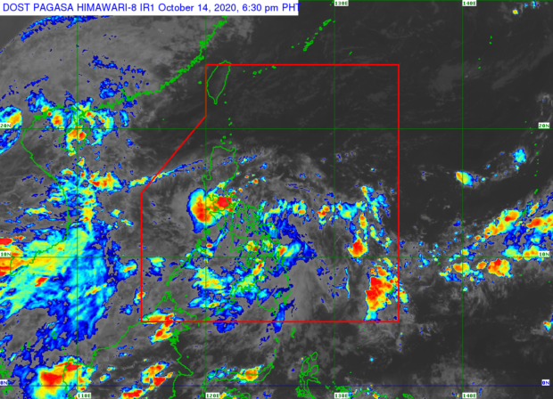
According to the Philippine Atmospheric, Geophysical, and Astronomical Services Administration’s (Pagasa) latest bulletin, Ofel was 125 kilometers west of Juban, Sorsogon, and still packed maximum sustained winds of 45 kilometers per hour (kph) near the center and gustiness of up to 55 kph.
It was moving west at a speed of 15 kph — slightly faster as it is predicted to reach the western side of Mindoro by Thursday. To date, Ofel has made three landfalls: first in Can-avid, Easter Samar (2:30 a.m.), second in Matnog, Sorsogon (6:00 a.m.), and third in Burias Island, Masbate (12:00 noon).
State meteorologists predict that Ofel would move west northward or westward over the inland seas of Southern Luzon in the next hours. It may leave the Philippine area of responsibility (PAR) either Friday morning or afternoon via the West Philippine Sea, Pagasa added.
Meantime, Pagasa hoisted Tropical Cyclone Wind Signal No. 1 over the following areas:
- Batangas
- Southern portion of Laguna (Luisiana, Majayjay, Liliw, Nagcarlan, Rizal, San Pablo City, Calauan, Alaminos, Los Baños, Bay, Magdalena)
- Central and southern portions of Quezon (Guinayangan, Tagkawayan, Buenavista, San Narciso, San Andres, Mulanay, San Francisco, Catanauan, Lopez, Calauag, Quezon, Alabat, Perez, Atimonan, Tayabas City, Mauban, Sampaloc, Lucban, Gumaca, General Luna, Macalelon, Pitogo, Unisan, Plaridel, Padre Burgos, Agdangan, Pagbilao, Lucena City, Sariaya, Candelaria, Dolores, Tiaong, San Antonio)
- Calamian Islands
- Occidental Mindoro
- Oriental Mindoro
- Marinduque
- Romblon
- Camarines Norte
- Camarines Sur
- Albay
- Masbate (including Ticao and Burias Islands)
These areas, according to Pagasa, will likely experience wind speeds of 30 kph to 60 kph in the next 36 hours.
Pagasa, on the other hand, lifted warning signals over Catanduanes but warned Calabarzon, Camarines Norte, Marinduque, Romblon, and Mindoro provinces to brace for moderate to heavy rain as Ofel is expected to intensify in the coming hours.
The state weather bureau further noted that the southwest monsoon intensified by Tropical Storm Nangka (formerly Nika) and Ofel will cause light to moderate with at times heavy rains in Central Luzon, Visayas, Mindanao, Metro Manila, Palawan, Cagayan, Isabela, and the rest of Bicol Region.
Pagasa said flash floods and landslides may occur during heavy or prolonged rainfall, urging residents in affected areas to continue monitoring weather updates and coordinate with local Disaster Risk Reduction Management Offices.