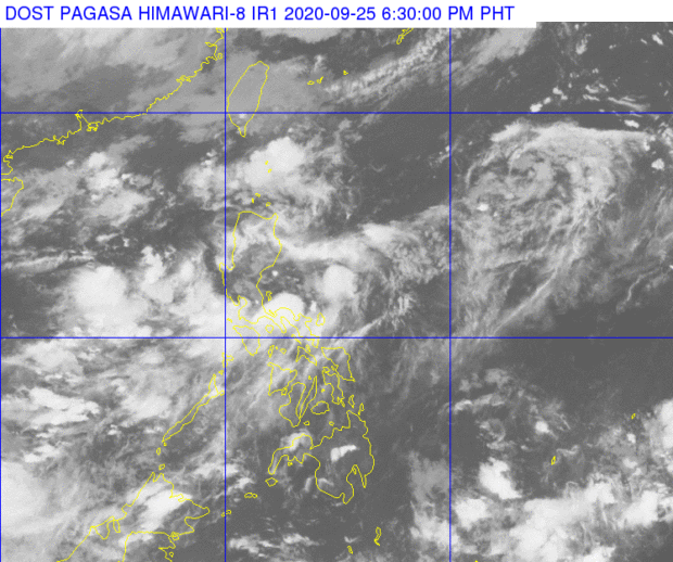

MANILA, Philippines — The low-pressure area (LPA) east of Luzon is still not expected to intensify as a tropical depression, but it continues to intensify the southwest monsoon or habagat which will bring rains over several parts of the country.
According to the weather updates from the Philippine Atmospheric, Geophysical and Astronomical Services Administration (Pagasa) on Friday afternoon, the LPA was last seen 150 kilometers east of Casiguran, Aurora.
While the LPA brings rains over Cagayan Valley and other parts of Central Luzon and Calabarzon, the southwest monsoon would cause showers for other parts of Southern Luzon and the Visayas.
Cloudy skies and thunderstorms may be experienced in Metro Manila and nearby provinces by Friday night, but by Saturday morning, the weather may be fair and somewhat warm. Rains would affect the area again during the afternoon and night.
Temperatures in Metro Manila, Laoag, Puerto Princesa, and Legazpi would play around 25 to 32 degrees Celsius, while the usually hot area of Tuguegarao would see something between 25 to 33 degrees due to the LPA.
Weather over Visayas and Mindanao would generally be better than the rest of the country, with temperatures ranging from 26 to 32 degrees Celsius in Iloilo and Tacloban, 26 to 33 degrees in Cebu, and 25 to 34 degrees in Davao City.
No gale warning has been raised as of now despite the monsoon and the LPA, which means fisherfolk and boat transfer operators using small boats can set sail.[ac]