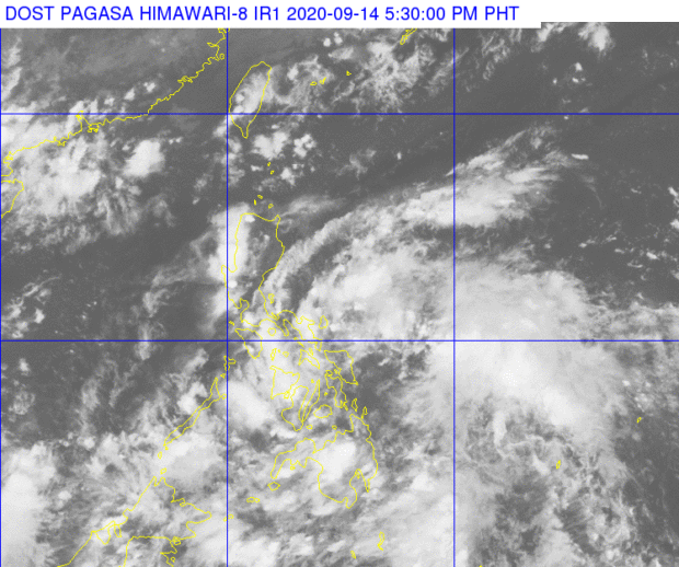

MANILA, Philippines — Bring a trusty umbrella for it just might be a wet Tuesday as the state weather bureau said that the low-pressure area (LPA) east of Northern Samar is expected to bring rains in most parts of the country tomorrow, September 15.
In its public weather forecast issued 4 p.m. Monday, the Philippine Atmospheric, Geophysical, and Astronomical Services Administration (Pagasa) said the LPA, which was last seen 215 kilometers east of Catarman, Northern Samar, will bring cloudy skies with scattered rains and thunderstorms in Marinduque, Romblon, Quezon, Bicol Region, Visayas, and Mindanao.
Meanwhile, Metro Manila and the rest of Luzon will experience partly cloudy to cloudy skies with isolated rain showers due to localized thunderstorms.
Pagasa also warned residents of flash floods or landslides during light to moderate with at times heavy rains.
The LPA will cross the country between Southern Luzon and Northern Visayas before possibly turning into a tropical depression, Pagasa noted.
“Inaasahang by Wednesday ay nakalabas na ng West Philippine Sea ang LPA, patuloy pang kikilos pakanluran at posibleng maging isang bagyo o tropical depression habang papalapit sa baybayin ng Vietnam,” Pagasa Weather Specialist Ariel Rojas said.
“Inaasahan po na magiging maulan ang panahon sa malaking bahagi ng bansa bukas (Martes) at sa Miyerkules,” he added.