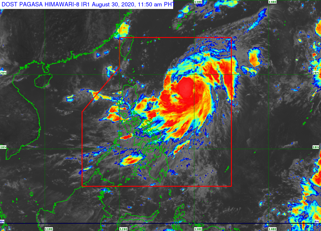
MANILA, Philippines — Typhoon Julian has intensified while almost stationary over the Philippine Sea on Sunday morning, the Philippine Atmospheric, Geophysical and Astronomical Services Administration (Pagasa) said.
In its 11 a.m. weather bulletin, Pagasa said the typhoon packs a maximum sustained winds of 140 kilometers per hour (kph) and gustiness of up to 170 kph.
The eye of “Julian” was located 760 kilometers east of Tuguegarao City, Cagayan at 10 a.m.
“Today, light to moderate with at times heavy rains associated with the Southwest Monsoon will be experienced over Pangasinan, Zambales, and Bataan. The outer rainbands of “JULIAN” may bring light to moderate rains over Bicol Region, with at times heavy rains over Catanduanes,” Pagsa said in its midday weather update.
The weather bureau earlier said the typhoon, being far from land mass, will not have a major impact on the country’s weather, although rain showers are expected in parts of Luzon and the Visayas.
“Moderate to rough seas (2.1 to 3.4 m) will be experienced over the seaboards of Northern Luzon and the eastern seaboards of Central Luzon, Southern Luzon, and Visayas due to the Southwest Monsoon and Typhoon “JULIAN”. Those with small seacrafts are advised to take precautionary measures while venturing out to sea,” Pagasa added.
Residents in rain-affected area have likewise been advissed to watch out for possible flash floods and landslides.
READ: ‘Julian’ intensifies into typhoon, rains expected in Luzon, Visayas
“Julian” is expected to exit Philippine area of responsibility by Monday, Aug. 31 or Tuesday, Sept. 1.