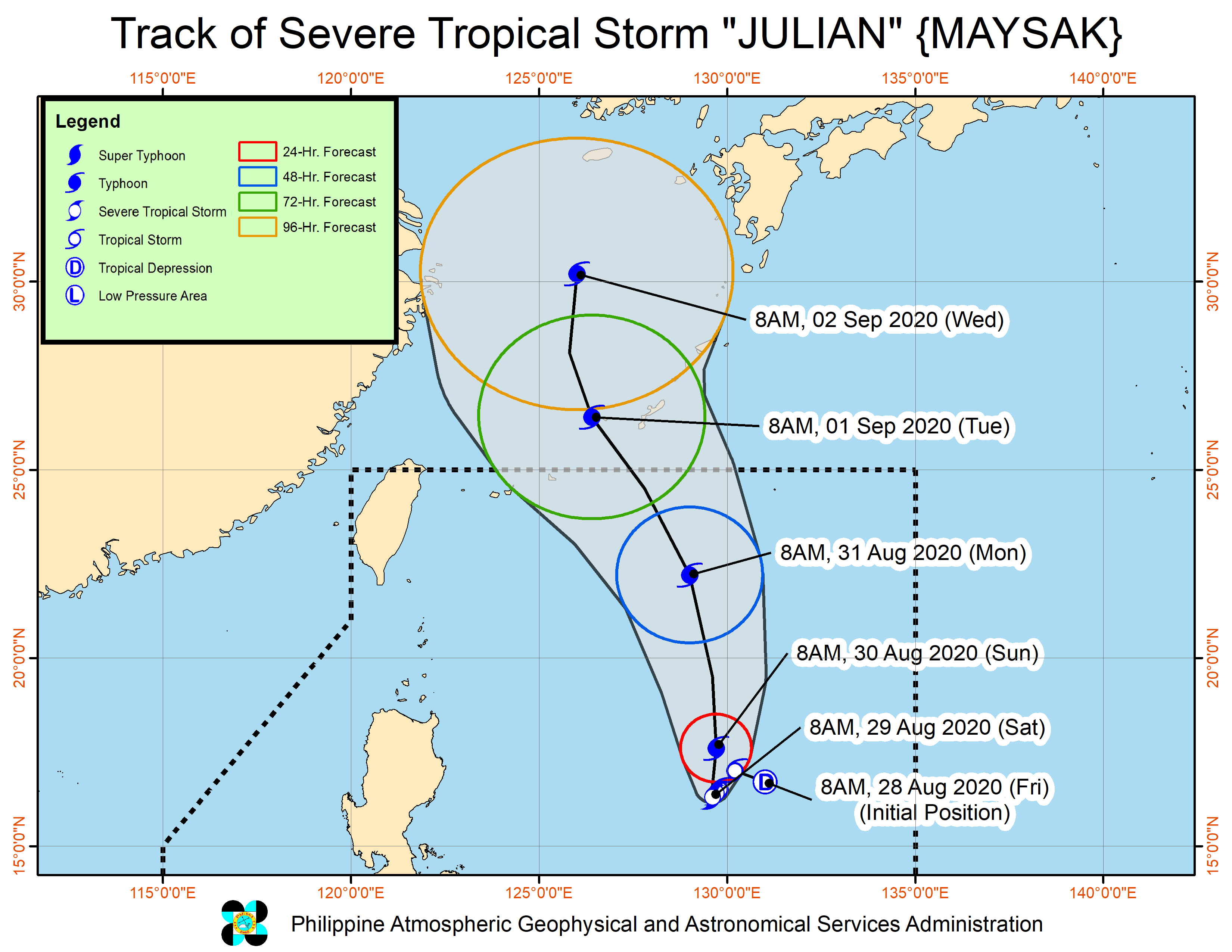
MANILA, Philippines — A gradual improvement of the weather may be seen starting Monday, as Tropical Storm Jangmi (formerly Enteng) exits the Philippine area of responsibility (PAR).
The latest forecasts from the Philippine Atmospheric, Geophysical, and Astronomical Services Administration (Pagasa) on Sunday showed that Jangmi left the PAR around the afternoon, and is headed for the southern tip of the Korean peninsula.
However, parts of the Ilocos Region and Central Luzon would still experience light to occasional rains because of the effect of a low-pressure area (LPA) on the southwest monsoon, directing winds to the western portion of Luzon.
As of Sunday afternoon, the LPA was last spotted 250 kilometers west of Dagupan City in Pangasinan.
Temperatures in Luzon are expected to get warmer in the coming days, ranging from 24 to 30 degrees Celsius in Metro Manila and Laoag, 24 to 32 degrees in Tuguegarao, and 21 to 28 degrees in Tagaytay.
Pagasa’s three-day forecasts for Metro Manila show that temperatures may peak to as high as 31 degrees Celsius for Tuesday and Wednesday, and up to 32 degrees by Thursday.
The same case may be said for Visayas and Mindanao, as Cebu and Davao’s temperature play around 25 to 32 degrees Celsius, while it would be around 23 to 31 degrees in Cagayan de Oro.
Meanwhile, a gale warning has been raised in Luzon’s northern seaboard, from Ilocos Norte to Cagayan Valley until Isabela, and from Pangasinan’s waters down to Zambales, western coast of Batangas and Mindoro, and towards western Palawan.


