Pagasa: Cloudy skies, rain in Visayas, Mindanao as LPA nears Davao City
MANILA, Philippines — Parts of Visayas and Mindanao, especially its eastern side, will experience rain as a low-pressure area (LPA) approaches Davao City, the state weather bureau said Tuesday afternoon.
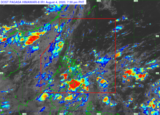
The latest forecast from the Philippine Atmospheric, Geophysical and Astronomical Services Administration (Pagasa) showed the LPA was last spotted 210 kilometers southeast of Davao. It is moving west.
As a result, the whole of Visayas and Mindanao may have a wet Wednesday as Pagasa predicts overcast skies as well as scattered rain showers and thunderstorms in the regions.
“Dahil sa ina-anticipate natin na pagkilos pakanluran at palapit nga sa landmass ng Mindanao itong low pressure area, asahan na bukas sa buong Visayas at Mindanao magiging maulap at kalat-kalat ang mga pag-ulan at may mga isolated thunderstorms din,” senior weather specialist Chris Perez said.
(Because we are anticipating the low-pressure area’s westward movement and its approach to the landmass of Mindanao, we can expect that the whole of Visayas and Mindanao may see cloudy skies and scattered rains with isolated thunderstorms.)
Article continues after this advertisementBut Pagasa said rain is also likely in some areas of Luzon tomorrow, August 5. This, it said, is due to cloud bands on the western side of the country, brought by the southwest monsoon or habagat. However, the monsoon’s effects are seen to gradually weaken as Typhoon Hagupit continues to move further away from the country.
Article continues after this advertisementAccording to Pagasa, wind forecasts show that the Philippines seems to be entering another monsoon break this week, which means a hot and humid climate while the southwest monsoon is not yet active.
“Mapapansin natin ‘yong direksyon ng hangin generally nagmumula sa timog hanggang timog silangan sa nakararaming bahagi ng ating bansa. Inaasahan natin na we’re going to have a break sa monsoon ngayong week,” Perez said.
(We have observed that the wind directions for most parts of the country would generally come from the south and the southeast direction. We are expecting that we’re going to have a monsoon break this week.
Meantime, Wednesday’s temperature in Metro Manila may likely be between 25°C and 33°C while Palawan and Legazpi will experience climate ranging from 26°C to 32°C as well as rain.
For the Visayas and Mindanao, weather will be slightly colder because of the anticipated occurrence of rain in the regions with Tacloban’s temperature possibly hitting 25°C to 30°C; Cebu City, 25°C to 31°C; Cagayan de Oro, 24°C to 30°C; and Davao City, 25°C to 32°C on Wednesday.
As for sea conditions, Pagasa has lifted all gale warnings after Hagupit moved north and away from the country – although Luzon’s seaboards will be moderate to rough due to the southwest monsoon, according to the state weather bureau.
The rest of the country will see moderate sea conditions while Mindanao’s southern coastlines will have a slight to moderate sea situation, Pagasa added.