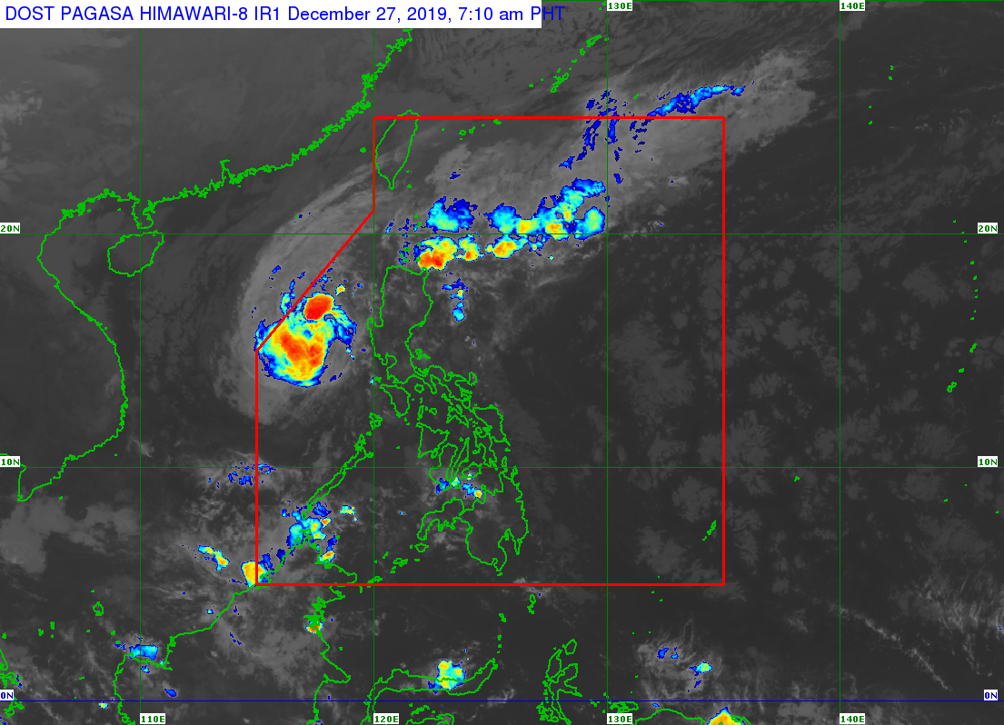
MANILA, Philippines — Typhoon Ursula (International name: Phanfone) continues to move away from the Philippine Area of Responsibility (PAR) but Northern Luzon will still experience rain showers caused by the tail-end of a cold front, the state weather bureau said Friday.
Ursula was last spotted 335 kilometers (km) west of Subic, Zambales as of 3:00 a.m., the Philippine Atmospheric, Geophysical and Astronomical Services Administration (Pagasa) said in its weather bulletin.
Ursula is packing maximum sustained winds of 120 kilometers per hour (kph) near the center and gustiness of up to 150 kph while moving northwest at 10 kph.
Meanwhile, Ilocos Region, the Cordillera Administrative Region, Cagayan Valley, and Aurora will have cloudy skies with scattered rain showers and isolated thunderstorms caused by the tail-end of a cold front.
Pagasa has warned of possible flash floods and landslides during severe thunderstorms in the mentioned areas.
Pagasa earlier lifted all tropical cyclone wind signals in the country and said Ursula is forecast to exit PAR Saturday morning.