
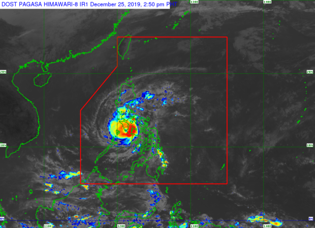
MANILA, Philippines — The eyewall of Typhoon Ursula (international name: Phanfone) has been lashing Caluya Islands with “very destructive” winds and intense rainfall on Wednesday afternoon, the state weather bureau said.
Such a violent weather condition was also forecast to affect the southern Mindoro provinces in the coming hours, the Philippine Atmospheric, Geophysical, and Astronomical Services Administration (Pagasa) added.
Pagasa said calm conditions will be experienced in these areas in case the eye of the typhoon passes. But, it added, violent conditions associated with the typhoon’s eyewall will resume as soon as the eye moves out of the area.
Based on Pagasa’s 2 p.m. weather bulletin, tropical cyclone wind signals have already been lifted on Sorsogon and northern Cebu.
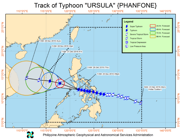
At 1 p.m., Ursula was spotted 70 kilometers southeast of San Jose, Occidental Mindoro, according to Pagasa. It’s going west at 20 kilometers per hour (kph) and packing maximum sustained winds of 140 kph near the center and gustiness of up to 195 kph, Pagasa added.
Sporadic to frequent heavy to intermittent intense rains may be experienced in Aklan, Antique, Capiz, Romblon, Calamian Islands, Cuyo Islands, and Mindoro province, Pagasa said.
Light to moderate rains with isolated heavy rain showers during thunderstorms will prevail over Bicol Region, the rest of Western Visayas, Calabarzon, Metro Manila, Marinduque, Aurora, and the northern portion of mainland Palawan, it also said.
The state weather bureau advised residents in the affected areas to take precautionary measures to reduce the impact of flooding and rain-induced landslides.
Moderate to strong winds will also begin affecting Metro Manila and Bataan on Wednesday afternoon, Pagasa said.
Destructive typhoon-force winds will also start to affect Mindoro province in the same period, and Calamian islands between Wednesday afternoon and evening, Pagasa further said.
Storm surge of one to two meters may likewise affect several coastal areas in northern Antique, Romblon, Marinduque, and Mindoro Provinces, Calamian Islands and Cuyo Islands in the next 24 hours, according to Pagasa.
Rough sea conditions will also prevail over the seaboards of areas under Tropical Cyclone Wind Signals (TWCS), as well as the seaboards of Aurora, and the northern and eastern seaboards of Mindanao, just as sea travel remains risky in these areas, it added.
Ursula had hit land five times since Tuesday – Salcedo, Eastern Samar; Tacloban City, Leyte; Cabucgayan, Biliran; Gigantes Islands, Carles, Iloilo; and Ibajay, Aklan – before making its final landfall at Caluya Island in Antique on Wednesday afternoon.

Here’s the list of areas where TCWS were raised:
TCWS No. 3
(forecast to experience winds between 121 kph and 170 kph in at least 18 hours)
- Romblon
- southern Oriental Mindoro (Roxas, Mansalay, Bulalacao, Bongabong, Bansud, Pola, Socorro, Pinamalayan, Gloria)
- Southern Occidental Mindoro (Calintaan, Rizal, San Jose, Magsaysay, southern portion of Sablayan)
- Calamian Islands (Busuanga, Coron, Culion)
TCWS No. 2
(forecast to experience winds between 61 kph and 120 kph in at least 24 hours)
- Batangas
- Marinduque
- rest of Oriental Mindoro
- rest of Occidental Mindoro including Lubang Island
- Cuyo Islands
- extreme northern portion of mainland Palawan (Linapacan, El Nido, Taytay, Araceli)
- Capiz
- Aklan
- Northern Antique (Caluya, Libertad, Pandan, Sebaste, Culasi Tibiao, Barbaza, Laua-an, Caluya)
TCWS No. 1
(forecast to experience winds between 30 kph and 60 kph in at least 36 hours or intermittent rains within 36 hours)
- Metro Manila
- Bataan
- Rizal
- Cavite
- Laguna
- The rest northern mainland Palawan (Dumaran, San Vicente, Roxas)
- Cagayancillo Islands
- Camarines Norte
- Camarines Sur
- Quezon
- Albay
- Masbate including Burias and Ticao Islands
- Northern Negros Occidental (Hinigaran, La Castellana, Pontevedra, La Carlota, San Enrique, Valladolid, Pulupandan, Bago, Murcia, Bacolod, Talisay, Salvador Benedicto, Silay, Enrique B. Magalona, Victorias, Manapla, Cadiz, Sagay, Escalante, Toboso, Calatrava)
- Iloilo
- Guimaras
- rest of Antique