
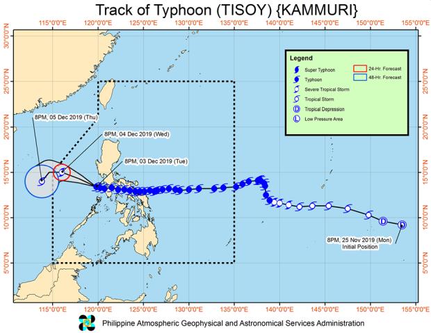
The track of Typhoon Tisoy as of 11 p.m., Tuesday, Dec. 3, 2019.
MANILA, Philippines — Typhoon Tisoy weakened further on Tuesday evening as it went over to the West Philippine Sea, according to the Philippine Atmospheric, Geophysical and Astronomical Services Administration (Pagasa).
According to 11 p.m. bulletin of Pagasa, Tisoy was located 180 km west of Calapan City, Oriental Mindoro with maximum sustained winds of up to 120 kph near the center and gustiness of up to 150 kph.
It is moving west-northwest at 15 kph.
While Tisoy continued to weaken, Tropical Cyclone Wind Signal (TCWS) No. 3 was still raised over northern Occidental Mindoro, including Lubang Island.
Meanwhile, Signal No. 2 was raised over Oriental Mindoro, Batangas, the rest of Occidental Mindoro, Cavite, Laguna, Rizal, Bataan, Metro Manila, southern Bulacan, southern Pampanga, southern Zambales, Calamian Islands, and western Quezon.
Signal No. 1 was raised over southern Nueva Ecija, northern Palawan, Tarlac, northern and central Quezon, western Romblon, Marinduque, rest of Zambales, the rest of Pampanga, the rest of Bulacan, and northwestern Antique.
Pagasa has lifted all signals over mainland Antique, Aklan, Camarines Provinces, Southern Aurora, and the remaining areas of Romblon, Quezon including Polillo Islands, northern Antique, and northern Aklan.
Pagasa said Tisoy is expected to exit the Philippine area of responsibility (PAR) between Wednesday evening and Thursday morning.
Meanwhile, light to moderate with occasional heavy rains are expected over Cagayan Valley, Cordillera Administrative Region, Aurora and Quezon on Wednesday.
Further, light to moderate rains with intermittent heavy showers during thunderstorms are expected over Metro Manila and the rest of Central Luzon and Calabarzon.
/atm