MANILA, Philippines – Typhoon Kammuri accelerated westward toward the Philippine area of responsibility and slightly gained strength, the state weather bureau said in its 4:00 a.m. Friday forecast.
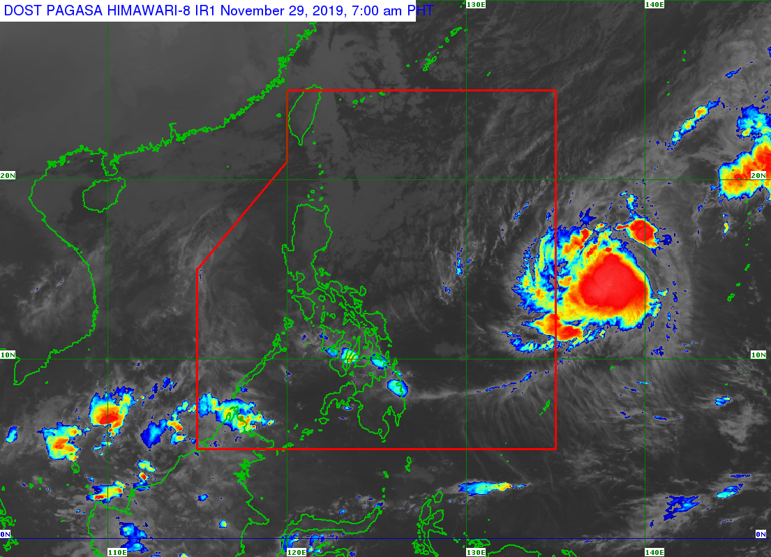
The Philippine Atmospheric, Geophysical and Astronomical Services Administration (Pagasa) spotted Kammuri 1,350 kilometers east of southern Luzon at 3:00 a.m. and moving west at a faster 25 kilometers per hour (kph) from 10 kph on Thursday.
It was packing winds of up to 130 kph and gusts of up to 160 kph. Kammuri packed a wind speed of 120 kph and gusts of up to 15o kph Thursday.
Pagasa earlier said some sports venues for the 30th Southeast Asian (SEA) Games might feel the “direct effect” of Kammuri on December 3 and 4.
The latest weather disturbance, once it enters PAR by Saturday or Sunday, will be given the local name Tisoy.
https://newsinfo.inquirer.net/1195683/pagasa-typhoon-kammuri-likely-to-have-direct-effect-on-sea-games-venues#ixzz66cErjTj7
Friday forecast
The Cordillera Administrative Region, Cagayan Valley and the provinces of Aurora and Quezon will experience cloudy skies with scattered rains due to northeast monsoon or “amihan”, the weather bureau said.
Pagasa added that bring partly cloudy to cloudy skies with isolated light rains will prevail in Metro Manila and the rest of Luzon also due to the “amihan.”
Similar weather conditions will be felt by Visayas and Mindanao but due to localized thunderstorms.
Rough seas, strong winds
Northern Luzon will experience strong northeastern winds and rough (2.1 to 4.5 meters) coastal waters.
Visayas, Mindanao and the rest of Luzon, meanwhile, will have moderate to strong northeast winds and moderate to rough (1.2 to 4.5 meters) coastal waters.