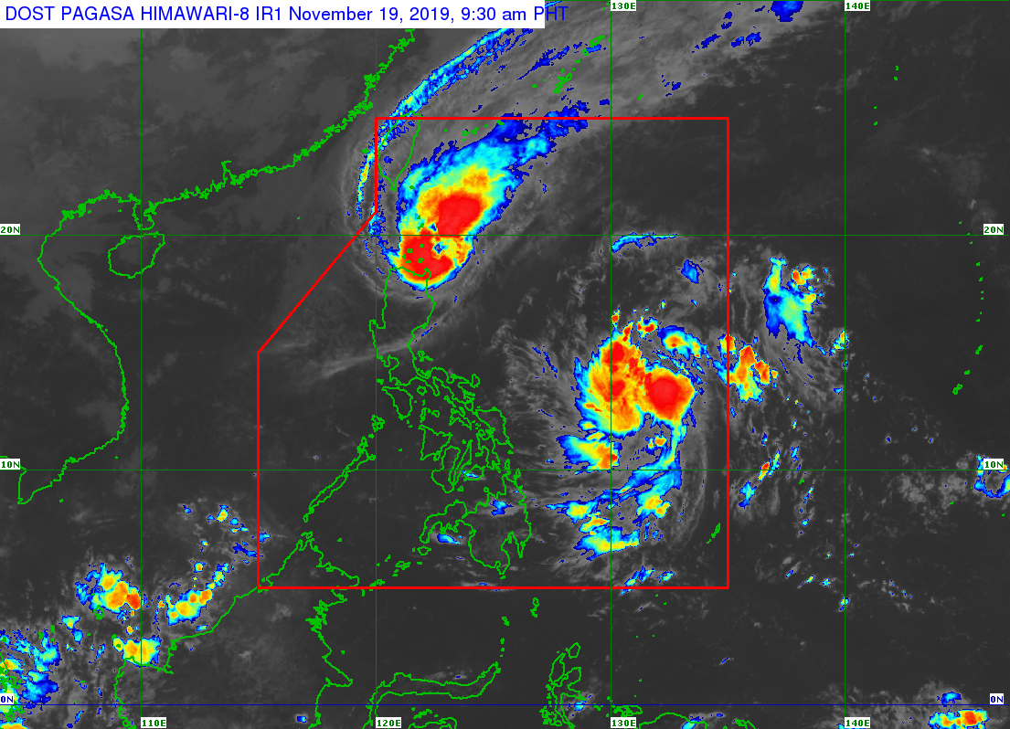
MANILA, Philippines — Typhoon Ramon has slowed down as it heads over to the Babuyan Islands, where it is expected to make landfall, the state weather bureau said Tuesday.
In its 8 a.m. weather update, the Philippine Atmospheric, Geophysical and Astronomical Services Administration (Pagasa) said Ramon was last spotted 110 kilometers east of Calayan, Cagayan.
Ramon is packing maximum sustained winds of up to 120 kilometers per hour (kph) near the center, and gustiness of up to 150 kph.
The typhoon was also spotted moving west-northwest slowly, Pagasa said.
The state weather bureau added that Ramon is expected to make landfall over the Babuyan Islands between Tuesday afternoon or Tuesday evening.
Tropical Cyclone Wind Signal (TCWS) No. 3 is still hoisted over the northern portion of Cagayan, particularly in Santa Praxedes, Claveria, Sanchez Mira, Pamplona, Abulug, Ballesteros, Aparri, Calayan, Camalaniugan, Buguey, Santa Teresita, Gonzaga, and Santa Ana.
TCWS No. 2, meanwhile, is raised over Batanes, Apayao, Kalinga, Abra, Ilocos Norte, Ilocos Sur, and the rest of Cagayan, and TCWS No. 1 over Northern Isabela (Sta. Maria, San Pablo, Maconacon, Cabagan, Sto. Tomas, Quezon, Delfin Albano, Tumauini, Divilacan, Quirino, Roxas, Mallig, San Manuel, Burgos, Gamu and Ilagan City), Mountain Province, Benguet, Ifugao, La Union and Pangasinan.
Moderate with frequent heavy rain are also expected over Batanes, the northern portion of Cagayan including the Babuyan Islands, Apayao and the northern portion of Ilocos Norte.
Pagasa also said that light to moderate with intermittent heavy rains over the northern portion of Isabela, Kalinga, Abra and the rest of Cagayan and Ilocos Sur are to be expected.