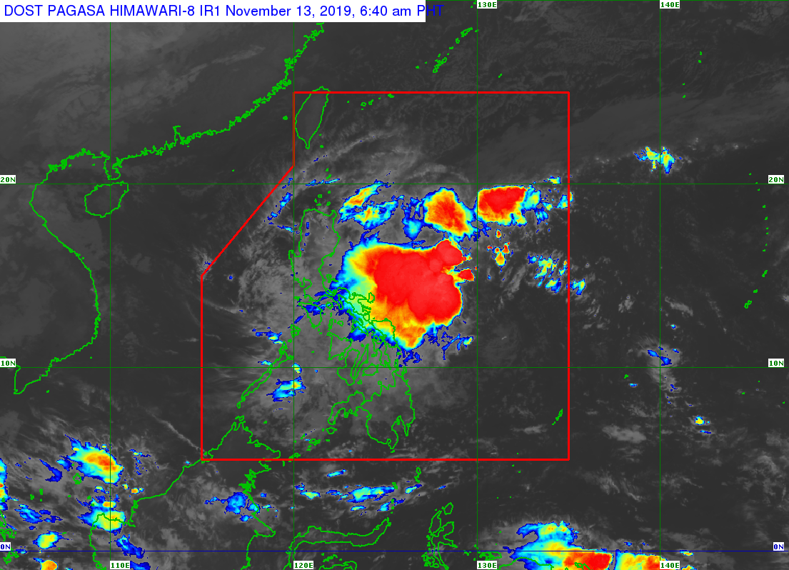
MANILA, Philippines – Tropical cyclone wind signal (TCWS) number 1 was raised over Catanduanes, Eastern Samar and the eastern part of Northern Samar as Tropical Depression Ramon slightly accelerated toward Luzon, the Philippine Atmospheric, Geophysical and Astronomical Services Administration (Pagasa) said in its 5 a.m. bulletin.
The three provinces are expected to experience 30 to 60 kilometers per hour (kph) winds in the next 36 hours.
Intermittent rains may likewise be experienced.
“Ramon” is forecast to intensify into a tropical storm within the next 24 hours.
The weather disturbance was last spotted 505 kilometers east of Borongan City, Eastern Samar.
It is currently moving west northwest at 15 kph and has maximum sustained winds of 55 kph near the center and gustiness of up to 70 kph.
Light to moderate with occasional heavy rains may prevail over Camarines Sur, Albay, and Sorsogon, the state weather bureau added.
Camarines Norte and Masbate may have light to moderate with intermittent heavy rains.
On Thursday, light to moderate with occasional heavy rains may prevail in the eastern portion of Isabela and northern Aurora.
The Bicol region, Cagayan, Apayao, Quezon, Northern Samar and the rest of Isabela and Aurora, meanwhile, may have light to moderate with intermittent heavy rains on the same day, according to Pagasa.
Residents in the said areas, especially those in areas highly susceptible to flooding and rain-induced landslides, are advised to take precautionary measures, coordinate with local disaster risk reduction and management offices, and monitor weather updates.
TCWS Signal No. 1 may be raised over Camarines Sur, Albay, Sorsogon, and the rest of Northern Samar in the Pagasa’s next bulletin at 11 a.m.
Sea travel is risky, especially for smaller vessels over the seaboards of areas under TCWS No. 1, seaboards of Northern Luzon, and the eastern seaboards of Central and Southern Luzon, Pagasa warned./gsg