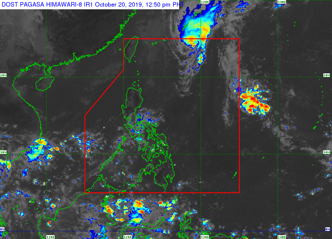
Source: Pagasa website | October 20, 12:50 pm
MANILA, Philippines — Typhoon “Perla” is expected to exit the Philippine Area of Responsibility (PAR) on Sunday evening or Monday morning, the Philippine Atmospheric, Geophysical and Astronomical Services Administration (Pagasa) reported Sunday.
The state weather bureau said Perla was spotted 750 kilometers east northeast of Basco, Batanes with maximum sustained winds of 140 kilometers per hour (kph) and gustiness of 170 kph, as of 10 a.m.
Perla moves north northeast at a speed of 20 kph and is expected to weaken as it travels outside PAR.
Meanwhile, Pagasa is also monitoring Severe Tropical Storm Bualoi outside PAR.
As of 20 a.m., Bualoi was spotted 2,825 kilometers east of Visayas with maximum sustained winds of 95 kph near the center and gustiness of up to 115 kph.
It is, however, not expected to enter PAR.
Due to the northeasterly surface windflow, occasional gusty conditions are expected over extreme Northern Luzon until Monday.
Pagasa also raised gale warning over Batanes, Ilocos Norte, and Cagayan including Babuyan Islands with wave height ranging from 2.8 to 4.5 meters. /je