
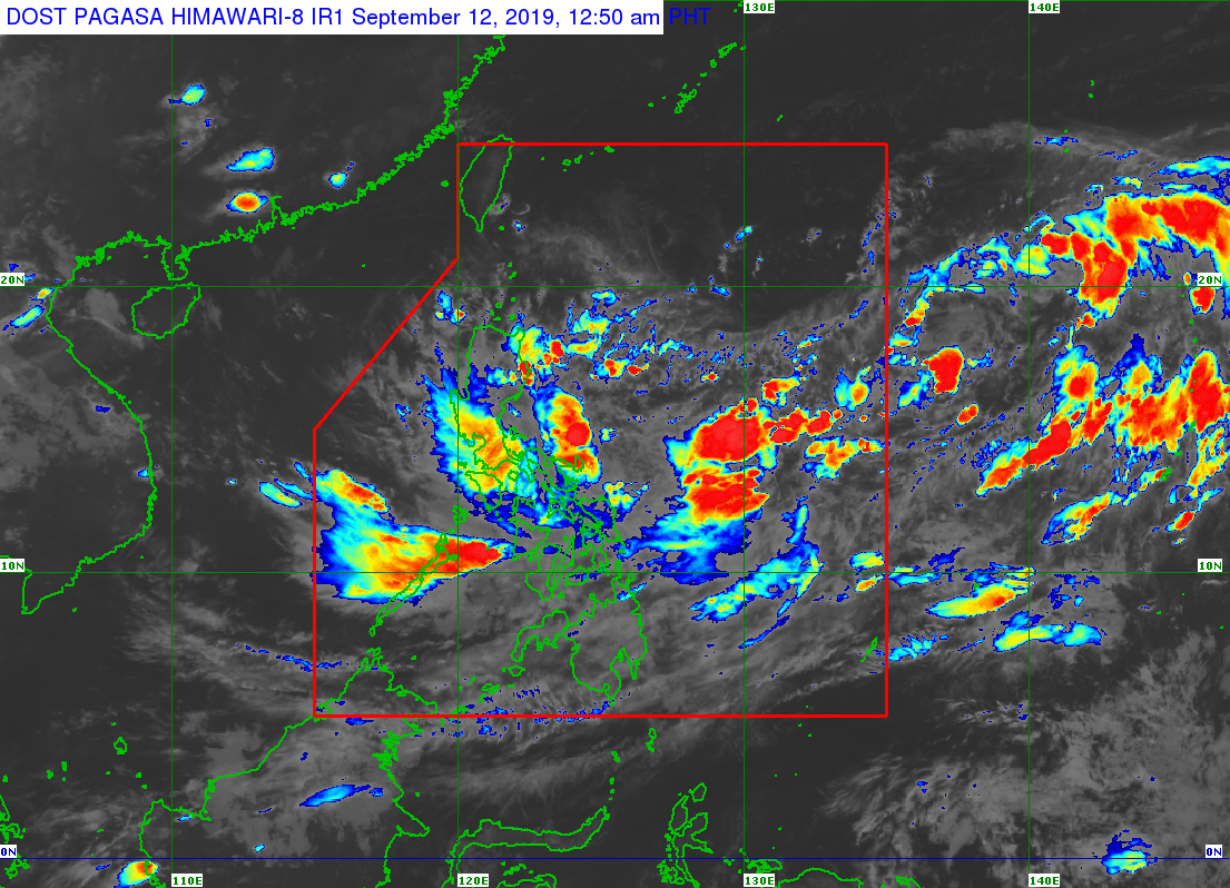
Pagasa satellite image as of 12:50 AM, September 12, 2019
MANILA, Philippines — The trough of a tropical depression east of the Philippines will bring rain across the Visayas and several provinces in Luzon on Thursday, according to the Philippine Atmospheric, Geophysical and Astronomical Services Administration (Pagasa).
Cloudy skies with scattered to widespread rain showers and thunderstorms will prevail in the Bicol region, Mimaropa (Mindoro, Marinduque, Romblon and Palawan), the whole of the Visayas and the provinces of Aurora, Quezon and Batangas due to the weather system.
The tropical depression remained outside the Philippine area of responsibility (PAR) as of Wednesday afternoon. Pagasa said it was 1,620 kilometers east of Southern Luzon, packing maximum winds of up to 55 kilometers per hour near the center and gustiness of up to 70 kph.
It was moving northeast at 25 kph, the weather bureau said.
In PH by Friday
Pagasa weather specialist Ana Clauren said it was expected to enter the country’s area of responsibility by Friday. When it does, it will be named “Marilyn,” Clauren said.
Pagasa raised gale warning on the seaboards of Northern and Eastern Samar, Southern Leyte, Surigao del Norte, Surigao del Sur, Davao Oriental, Davao Occidental, Dinagat Islands and Siargao.
Fishermen with small boats were advised against going out to sea, due to rough waters.
Thunderstorms will bring isolated rain showers in Metro Manila and the rest of the country on Thursday, the weather service said. —Jhesset O. Enano