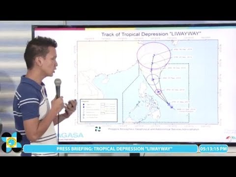
MANILA, Philippines — Tropical Depression “Liwayway” may intensify into a severe tropical storm before exiting the Philippine Area of Responsibility (PAR) later this week.
Liwayway was spotted approximately 470 kilometers east northeast of Maasin City, Southern Leyte as of 3 p.m on Sunday, according to the Philippine Atmospheric, Geophysical and Astronomical Services Administration (Pagasa).
It maintained its maximum sustained winds of 45 kilometers per hour (kph) and a gustiness of up to 55 kph as it moved northwest at 20 kph.
Pagasa does not expect it to make landfall.
Due to the trough of Liwayway, cloudy skies with scattered rain showers and thunderstorms are expected in the Bicol Region, Central Visayas, Eastern Visayas, and the Caraga Region.

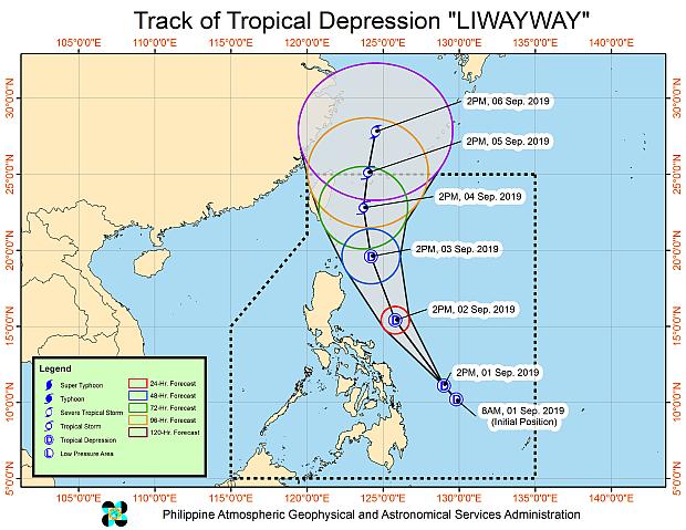
Track of Tropical Depression ‘Liwayway’
The southwest monsoon, meanwhile, will affect the provinces of Pangasinan, Zambales, Bataan, Occidental Mindoro, and Palawan.
Meanwhile, Tropical Depression Kabayan exited PAR on Sunday morning.
As of 3 p.m., Kabayan was spotted 680 km west of Northern Luzon with maximum sustained winds of 55 kph and gustiness of up to 70 kph.
/atm