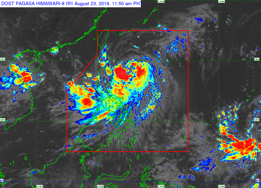
In its 11 a.m. weather update, the Philippine Atmospheric, Geophysical and Astronomical Services Administration (Pagasa) said “Ineng” slightly quickened to 25 kilometers per hour (kph) from 20 kph that was previously reported in Pagasa’s 5 a.m. bulletin.
READ: Signal No. 2 up in Batanes as ‘Ineng’ becomes a severe tropical storm
“Ineng” was also last seen at 500 kilometers east of Tugegarao, Cagayan.
The severe tropical storm still packed maximum sustain winds of 95 kph and gustiness of up to 115 kph.
Pagasa also reported that “Ineng” is less likely to make landfall, and is expected to exit the Philippine Area of Responsibility on Saturday evening.
Despite this, Tropical Cyclone Warning Signal (TCWS) No. 2 is still raised over Batanes, while TCWS no.1 remains hoisted over Cagayan the including Babuyan Group of Islands, Isabela, Apayao, Kalinga, Northern Abra and Ilocos Norte.
Light to moderate with intermittent heavy rain will also affect Metro Manila, Bataan, Zambales, Cavite, Batangas, Mindoro Provinces, northern portions of Palawan (including Calamian and Cuyo Islands), Aklan, Antique, and the rest of Ilocos Region, Cordillera Administrative Region and Cagayan Valley, Pagasa added. /muf