


Fixing Baguio starts with tree, land survey
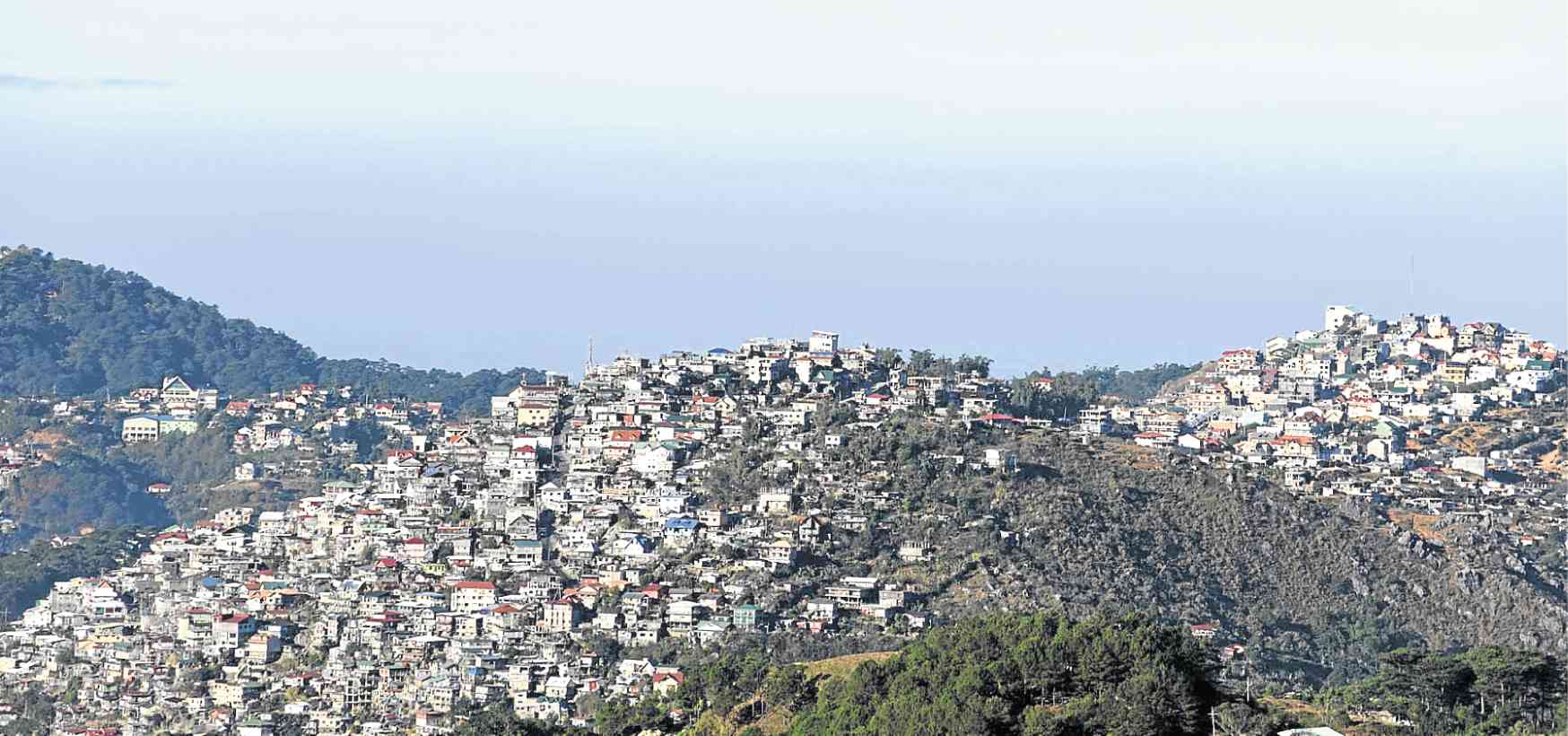
MOUNTAIN COMMUNITIES Settlements have sprouted on Baguio City’s hillsides as migrants, students and workers flock to the summer capital to seek better opportunities. —EV ESPIRITU
BAGUIO CITY — Environmental regulators have started an inventory of pine trees and lands in the summer capital, on the heels of a report that points to growing population as one of the main causes of its urban decay.
The survey and mapping office of the Department of Environment and Natural Resources (DENR) is collating data on the pine trees to determine their age as well as how these can regenerate without human intervention.
The DENR is also examining the geological conditions of Baguio’s private and public lands as well as their legal status, to determine if the government can reinstate a ban on houses on mountainsides with 18-degree slopes.
Carrying capacity
Environment Secretary Roy Cimatu gave these instructions to the DENR office here over the weekend, saying that stopping developers from accessing steep slopes would end what he described as uncontrolled building constructions in the city.
Baguio’s population of 345,000 is the optimum size, which its resources like water and road network can support, according to the initial results of the carrying capacity study commissioned by the National Economic and Development Authority (Neda).
Many residents can no longer benefit from these resources once the population rises to 700,000, noted the study made by the consultancy group, Certeza Infosys Corp. The study findings were presented to Neda on Feb. 15.
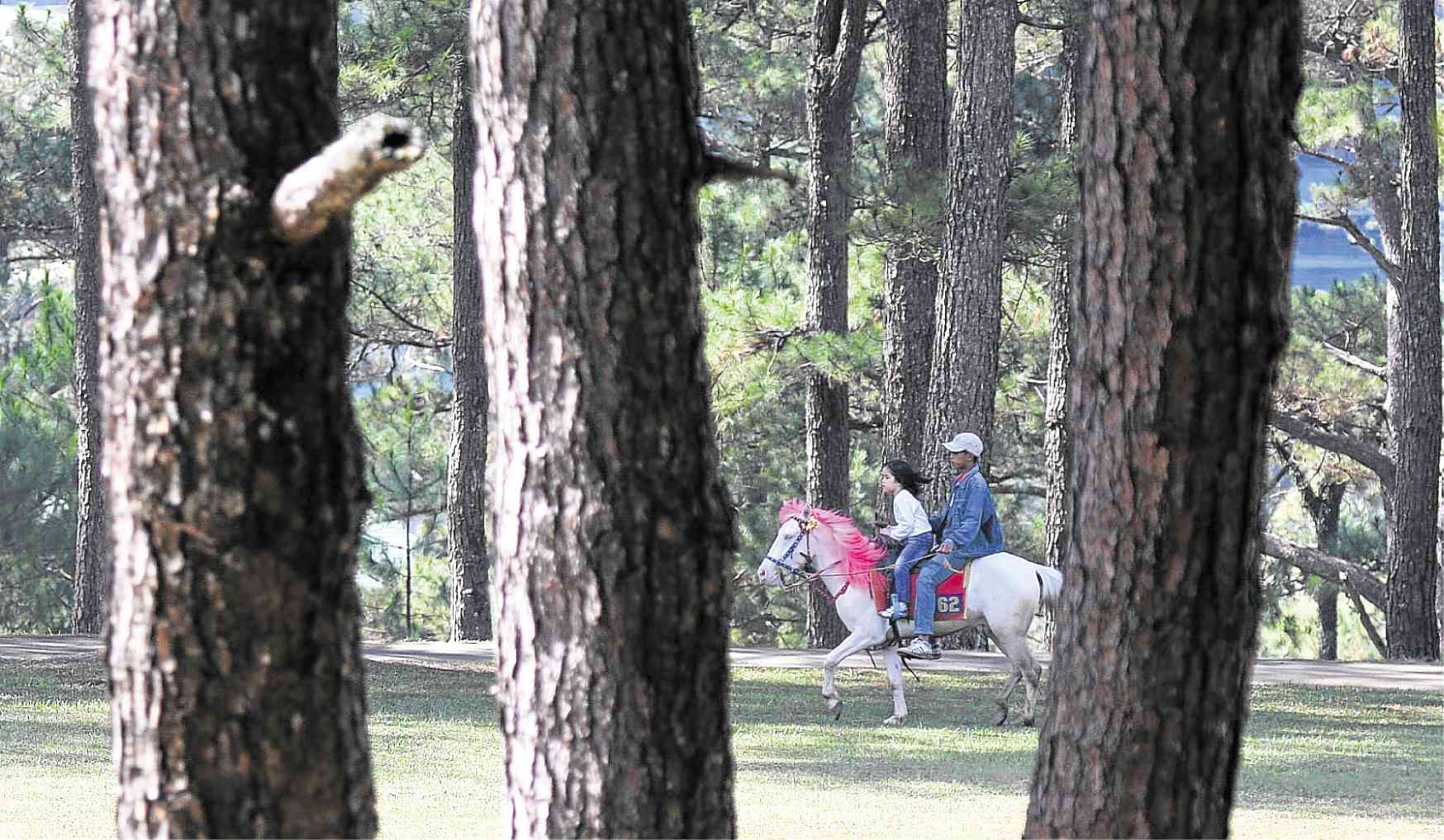
PINE ATTRACTION Baguio’s pine cover has given the city its unique character that continues to attract tourists. —EV ESPIRITU
Crtical slopes
City residents have been complaining about the rising number of condominium and hotel projects to accommodate a “daytime” population of 720,000 people, including tourists and students. The population grows on certain hours of the day during weekdays.
Using satellite maps, Certeza consultants examined 19,016 structures in areas that were vulnerable to both rain and earthquake-induced landslides.
They classifed 16 structures as perched on “very highly critical slopes,” while 2,800 others were on “highly critical slopes.” About 16,200 structures were on “moderately critical slopes.”
Baguio’s 1909 charter classifies the city as a townsite reservation. That means the whole city, which was designed and built by the American colonial government, is alienable and disposable.
But because of a proposition that the city’s green cover should be 60 percent of its territory, the consultants observed that the biodiversity of the forest cover (29 percent of the total land area) “is very low and may affect its ecological services.”
Settlers
There are 3,361 informal settlers in forest areas (representing 4 percent of the 2015 city population), the study said, citing data from the DENR, the National Housing Authority and the city assessor’s office.
The consultants proposed to relocate households from geologically hazardous areas as well as give incentives to real estate developers for improving the infrastructure and urban services of Baguio’s neighboring towns.
This recommendation has been fulfilled by the establishment of an economic and social services cooperation between Baguio and the Benguet towns of La Trinidad, Itogon, Sablan, Tuba and Tublay. The concept was developed shortly after Baguio was devastated by the 1990 Luzon earthquake.
But to speed up the process, the DENR may seek an amendment to Presidential Decree No. 1998 which exempts the provinces of Benguet and Cebu from the national forest code rule on 18-degree slopes, said Benjamin Ventura, who is overseeing the task set by Cimatu. Baguio is within Benguet territory. —VINCENT CABREZA


