‘Amang’ moving faster towards Caraga
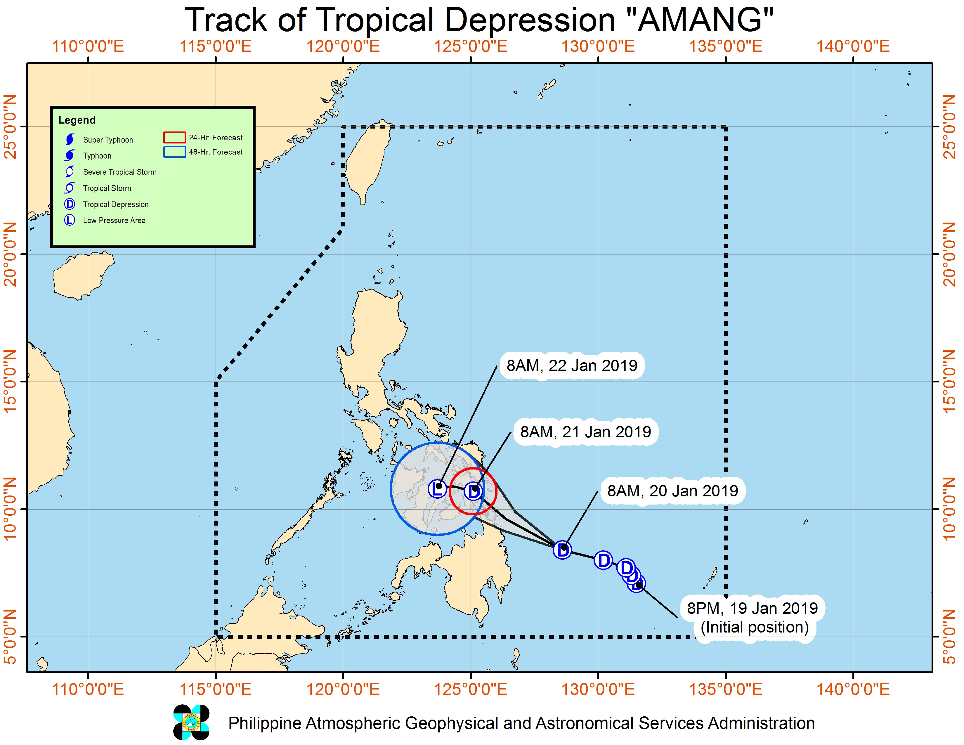
MANILA, Philippines – Tropical Depression “Amang” slightly accelerated on Sunday as it moved towards the Caraga Region, the Philippine Atmospheric, Geophysical and Astronomical Services Administration (Pagasa) said.
In its 11 a.m. weather report, Pagasa said Amang was moving 30 kilometers per hour (kph) in a west-northwest direction.
It was still packing maximum sustained winds of 45 kph near the center and gustiness of up to 60 kph.
It was last spotted at 165 km East Northeast of Hinatuan, Surigao del Sur, or 280 km East Southeast of Surigao City, Surigao.
Amang is forecast to be over Abuyog, Leyte, at about 10 a.m. on Monday and northwest of Lapu-Lapu City on Tuesday morning.
Article continues after this advertisementModerate to heavy rain will prevail over Caraga, Northern Mindanao, Eastern Visayas, Davao Oriental, Compostela Valley, Catanduanes, Albay, Sorsogon, Masbate, Northern Negros Provinces, Northern Cebu, and Bohol.
Article continues after this advertisementResidents in these areas are advised to take extra precaution as Pagasa said flooding and landslides were possible due to the bad weather.
Pagasa raised Tropical Cyclone Warning Signal Number 1 over Eastern Samar, Samar, Biliran, Leyte, Southern Leyte, Eastern Bohol and Northern Cebu in the Visayas, and over Agusan del Sur, Agusan del Norte, Surigao del Sur, Surigao del Norte, Dinagat Islands and Camiguin in Mindanao.
Signal number 1 may also be raised this afternoon or early evening over northern Samar.
Amang is expected to make landfall over the Surigao del Norte – Siargao Islands area between this afternoon and tonight. /cbb