Award-winning Pinay scientist gives farmers crucial tool: satellite data
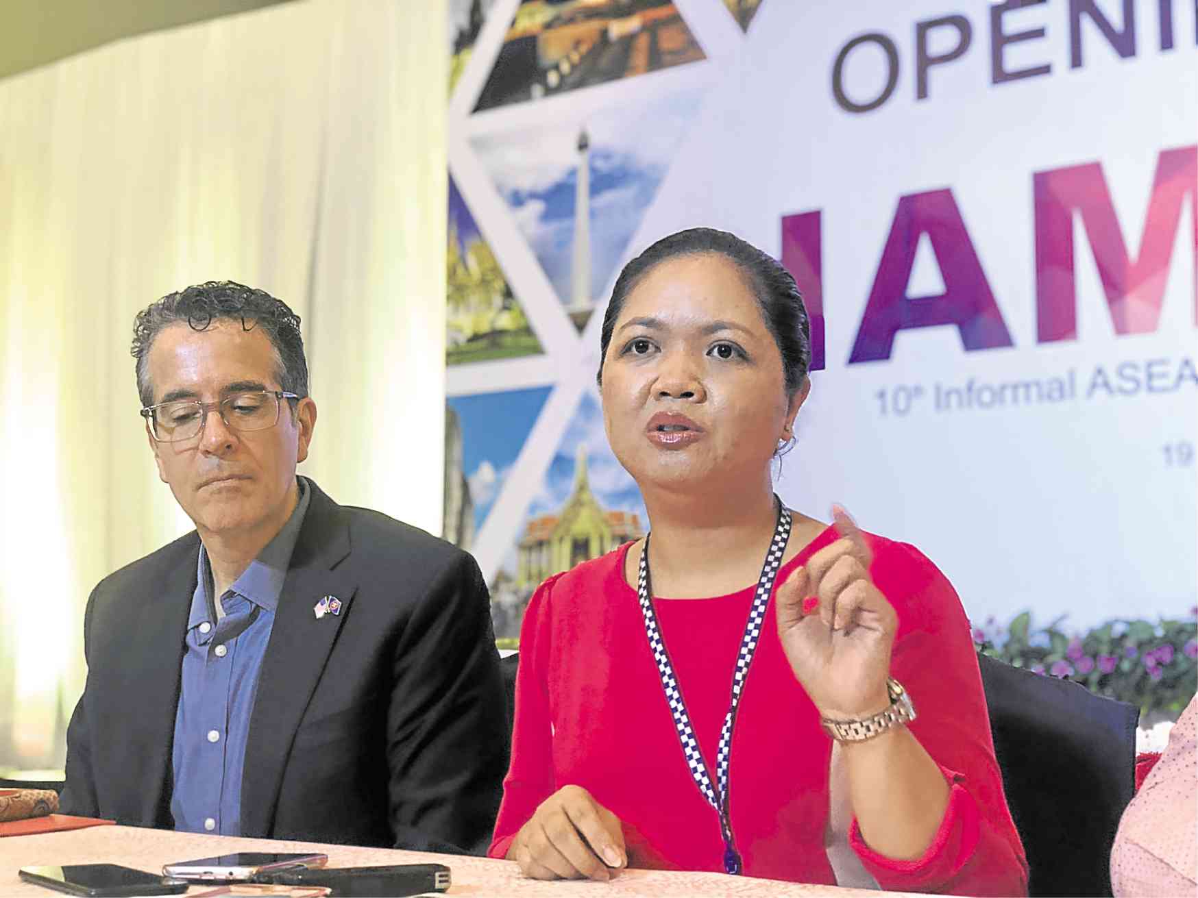
NO FARM GIRL, BUT … Dr. Gay Jane Perez talks about her research, which won this year’s Asean-US Science Prize for Women. Her impressive work, says Ryan Washburn (left), helps farmers by predicting drought and identifying the best areas for planting, thanks to data gathered by satellite. —JOSE SANTINO BUNACHITA
LAPU-LAPU CITY, Cebu — Dr. Gay Jane Perez was a postdoctoral fellow at the National Aeronautics and Space Administration (Nasa) in the United States when she realized how much data can be culled from satellite images.
“I was always looking at the Philippines through satellite images [and] saw that there really is a relationship between temperature and vegetation,” the 37-year-old scientist recalled. “I was at Nasa in 2010, while we were having El Niño in the country.”
Such realization helped Perez bag this year’s Asean-US Science Prize for Women, the first Filipino to win it.
Perez bested seven other female scientists from Southeast Asia and received a $20,000 cash prize from the US government and its private partner, Underwriters Laboratories, a global safety science company.
Early-career boost
The competition supports promising early-career scientists across the region and encourages collaboration between member states and the United States in creating sustainable solutions to address development changes.
This year, the competition focused on precision agriculture and sought to award those working at the intersection of agriculture, digital tools, technology and data in support of small farmers and regional agriculture.
As Southeast Asia’s population continues to grow, so does the pressure on the region’s food system. Experts believe that by 2050, about 40 percent more food will be needed to feed the region.
Other challenges like resource scarcity and extreme weather phenomena add to the problem.
Perez’s award-winning research focuses on using satellite data to forecast drought and identify the ideal planting areas and seasons that could result in improved crop yield.
“Farmers can be advised early on where to plant and what to plant, and if there’s drought, when to irrigate,” Perez explained.
“We can also advise them to harvest or plant earlier [depending on weather forecasts based on satellite images],” she added in an interview on Friday.
Drought forecast
The system she has developed makes use of satellite data to derive geophysical parameters like vegetation indices, surface temperature, rainfall, soil moisture and evapotranspiration — the process by which water is transferred from land to atmosphere by evaporation from the soil and other surfaces and by transpiration from plants.
Such data helps forecast drought so that farmers could be warned about it.
Dr. Perez, an associate professor from the Institute of Environmental Science and Meteorology at the University of the Philippines (UP) in Diliman, Quezon City, started her research in 2013 and has finished its first phase.
The results have been turned over to the state weather bureau, the Philippine Atmospheric, Geophysical and Astronomical Services Administration (Pagasa), as well as the Bureau of Soils and Water Management (BSWM) of the Department of Agriculture (DA).
Dubbed as Drought and Crop Assessment and Forecasting (DCAF), the project initially showed a 73-percent accuracy in identifying drought occurrences in pilot areas, Perez said.
Once approved by Pagasa and the DA-BSWM, the technology can be integrated in these agencies’ advisory systems to help farmers across the country, she added.
Crop-specific
The project’s second phase, now ongoing, will be a collaboration with crop scientists and agriculture engineers aimed at developing a more crop-specific approach in coming up with advisories that can be disseminated to farmers.
From 60 entries, eight scientists from the Philippines, Malaysia, Brunei Darussalam, Indonesia, Lao People’s Democratic Republic, Burma, Singapore and Vietnam were shortlisted, according to Ryan Washburn, head of the US delegation to the Asean Committee on Science and Technology.
The list was further trimmed to two finalists—Dr. Perez and Dr. Samsuzana Abd Aziz of Malaysia, whose research focuses on computer science and electronics in agriculture.
Perez’s research “most impressed” the judges not just because it was groundbreaking, but also because it was readily applicable, Washburn said.
“We want research that does not just stay in the halls of academics,” added Washburn, who is also the deputy mission director of the US Agency for International Development-Indonesia.
Schoolgirl from Naga
The winner was announced during the 10th Informal Asean Ministerial Meeting on Science and Technology, 75th Meeting of Asean Committee on Science and Technology held in Cebu from Oct. 15 to 19.
She did not really expect to win, said Perez, who finished BS Applied Physics in 2003, Master of Science in Physics in 2005, and Doctorate in Physics—all at UP Diliman.
“My background is in physics, far from agriculture. I didn’t know a lot about agriculture except for the rice that’s on my plate,” she recalled in jest.
Prior to pursuing physics, Perez came from an all-girls Catholic school in Naga City, Camarines Sur, where she grew up admiring the feats of Filipino scientists through school magazines like Bato Balani.
“I applied to the [science prize] because I feel that if I win the prize, I could serve as a role model to encourage more women to pursue scientific research,” Dr. Perez said in her three-minute video introduction.
Nasa fellow
After her years at UP, Perez became a postdoctoral fellow at Nasa’s Goddard Space Flight Center Hydrospheric and Biospheric Sciences Laboratory in the United States where she learned more about the immense data gathered by satellite images.
When she got back to the Philippines, Perez started working on drought forecasting through the DCAF project, which involves viewing different farm areas all over the country through satellite images enhanced by our very own Diwata 1 and 2 satellites.
The technology can help scientists view areas up to the barangay level, but Perez said they hoped to improve their data’s resolution to reach farm levels, thanks to the prize money she received.
Perez and other scientists are also working with state universities in Ilocos Norte, Nueva Ecija, Isabela, Bicol, Cebu, Iloilo and Bukidnon to help them improve their data and validate their research results in the field.