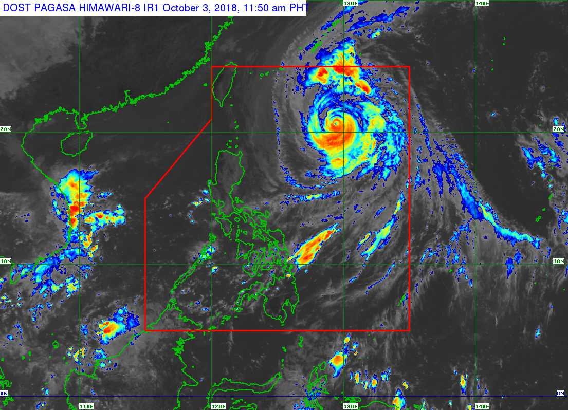
Typhoon “Queenie” (international name: Kong-Rey) slightly weakened as it continues to follow its northwest track, the state weather bureau said on Wednesday.
In its 11 a.m. severe weather bulletin, the Philippine Atmospheric, Geophysical and Atmospheric Services Administration (Pagasa) said “Queenie” is packing maximum sustained winds of 185 kilometers per hour (kph) and gusts up to 225 kph.
As of 10 a.m., Queenie was spotted 795 km east of Basco, Batanes and was moving northwest at a speed of 15 kph.
Pagasa said the typhoon is not expected to make landfall in the country but its trough or extension will bring light to moderate rains over the eastern section of the country.
Sea travel remains to be risky over the northern seaboards of Northern Luzon due to very rough seas associated with the typhoon, the state weather bureau said.
“Queenie” is expected to exit the Philippine Area of Responsibility (PAR) on Friday morning, Oct. 5. /muf