
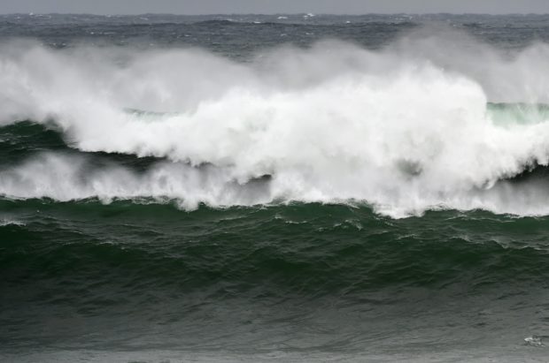
A storm tosses the sea in this file photo. AFP FILE
Typhoon “Kong-Rey” continued to intensify as it moved towards the country, the weather bureau said Monday.
In its third cyclone advisory, the Philippine Atmospheric, Geophysical and Astronomical Services Administration (Pagasa) said Kong-Rey was already packing maximum sustained winds of 145 kilometers per hour (kph) and gustiness of 180 kph.
Kong-Rey’s sustained winds were stronger by 15 kph from the 130 kph winds measured as of 3 a.m., Monday.
READ: Typhoon ‘Kong-Rey’ to enter PAR Monday afternoon – Pagasa
As of 10 a.m., Kong-Rey was at 1,515 kilometers East of Central Luzon, still outside the Philippine area of responsibility (PAR).
It is expected to enter the PAR this afternoon as it moves west northwest at a speed of 15 kph. Once inside PAR, it will be called “Queenie.”
Pagasa advised the public and the disaster risk reduction and management councils to continue monitoring the updates it releases. /cbb