LPA becomes tropical depression, may enter PAR on Tuesday
A low pressure area (LPA) has now become a tropical depression, moving northwest at 15 kilometers per hour, the Philippine Atmospheric, Geophysical and Astronomical Services Administration (Pagasa) said on Friday.
In a 4 p.m. Pagasa weather bulletin, the tropical depression was last seen at 2,625 kilometers east of Mindanao and packing maximum sustained winds of 45 kilometers per hour and gustiness of up to 60 kph.
The weather bureau said it is expected to enter the Philippine area of responsibility (PAR) on Tuesday, Oct. 2.
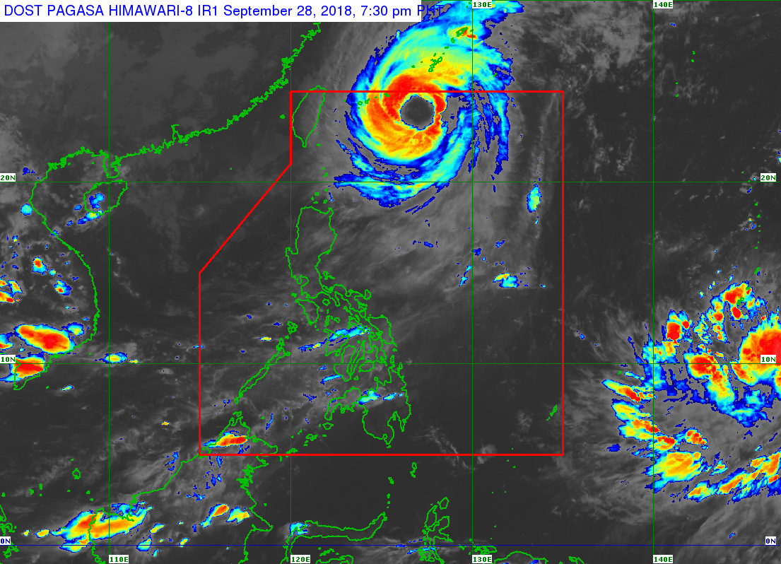
Meanwhile, Typhoon “Paeng” (international name: Trami) is expected to leave PAR by Saturday morning and was last spotted at 615 kilometers east northeast of Basco, Batanes.
It moves northwest away from PAR with maximum sustained winds of 160 kph and gustiness of up to 195 kph. /jpv
Responding to appeals for help, the Inquirer is extending its relief efforts to the families affected by Typhoon Paeng. Cash donations may be deposited in the Inquirer Foundation Corp. Banco De Oro (BDO) Current Account No.: 007960018860 and through Maya