Pagasa: ‘Paeng’ to speed up before exit on Saturday
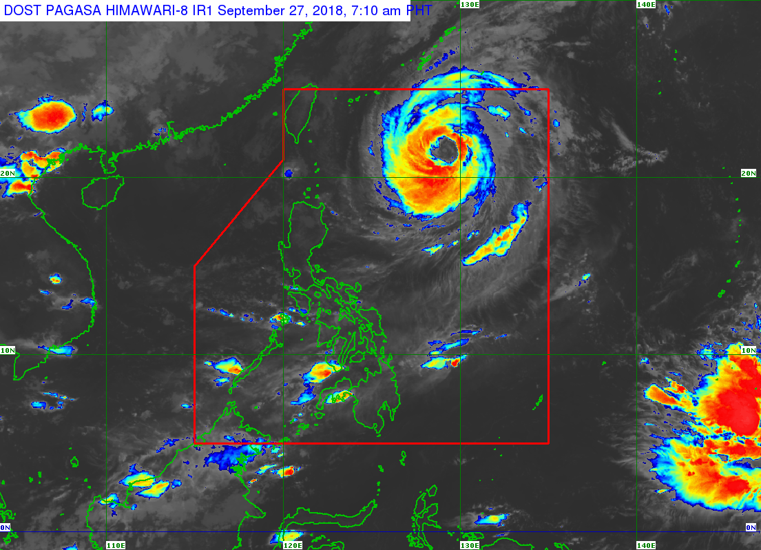
Typhoon “Paeng” (international name: Trami) is expected to speed up in the next 24 hours until its projected exit from the Philippine area of responsibility (PAR) on Saturday afternoon, the state weather bureau said.
As of Thursday, the typhoon continued to move northward slowly, the Philippine Atmospheric Geophysical and Astronomical Services Administration (Pagasa) said.
“Paeng” was spotted 750 kilometers east of Basco, Batanes, with maximum sustained winds of 160 kilometers per hour (kph) near the center and gusts of up to 195 kph.
Zamboanga Peninsula, Northern Mindanao and Caraga region will have cloudy skies with scattered rains and thunderstorms.
Metro Manila and the rest of the county might experience localized thunderstorms.
Meanwhile, Pagasa continues to monitor a low pressure area that might enter PAR on Monday or Tuesday next week. /muf
Responding to appeals for help, the Inquirer is extending its relief efforts to the families affected by Typhoon Paeng. Cash donations may be deposited in the Inquirer Foundation Corp. Banco De Oro (BDO) Current Account No.: 007960018860 and through Maya