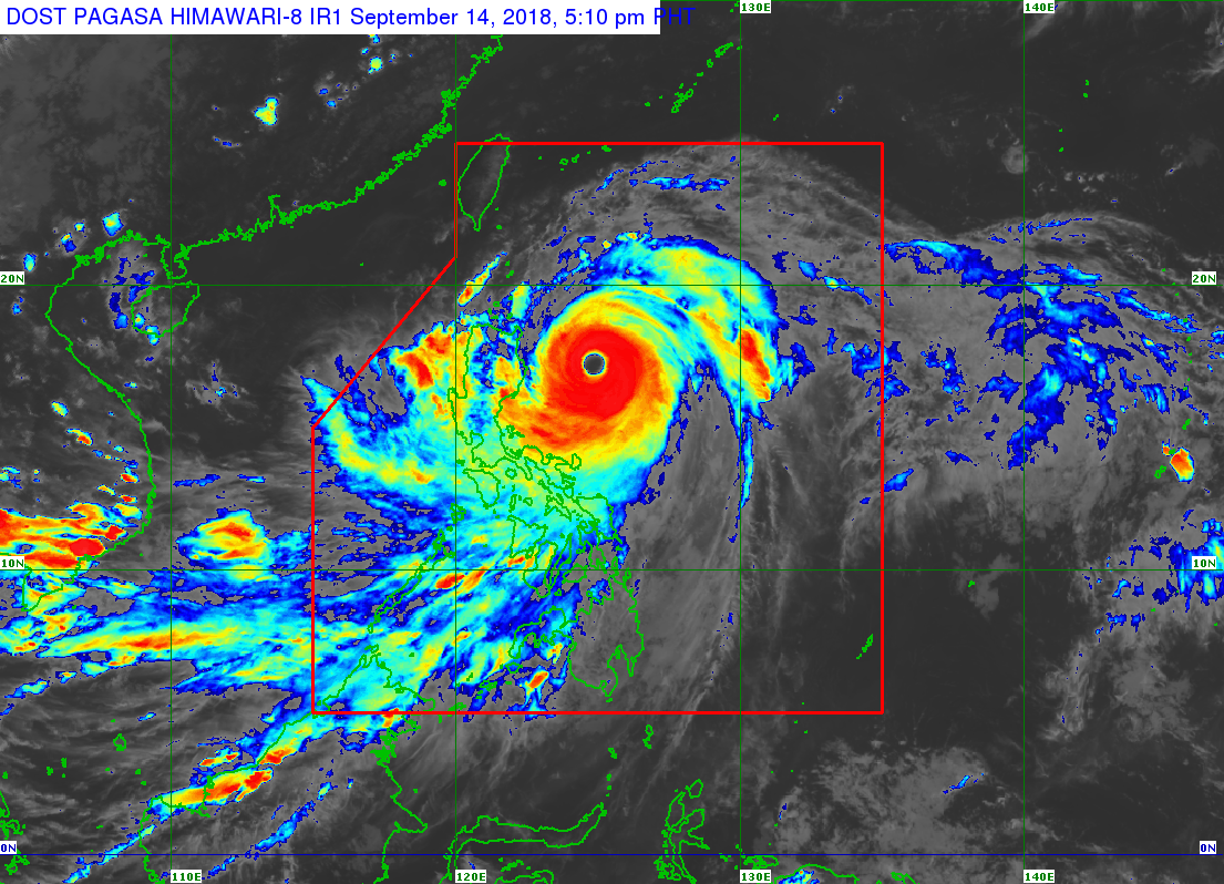
Signal No. 4 was raised in Cagayan and Isabela by late afternoon Friday, several hours before the expected landfall of typhoon “Ompong” (international name: Mangkhut), the state weather bureau said.
The typhoon also further accelerated ahead of the landfall on Saturday morning, the Philippine Atmospheric Geophysical and Astronomical Services Administration (Pagasa) added.
Meanwhile, the following tropical cyclone signals were hoisted over various areas of Luzon:
Signal No. 3
Babuyan Group of Islands
Southern Isabela
Ilocos Norte
Ilocos Sur
Apayao
Abra
Kalinga
Mountain Province
Benguet
Ifugao
Nueva Vizcaya
Quirino
Northern Aurora
Signal No. 2
Batanes
La Union
Pangasinan
Tarlac
Nueva Ecija
Southern Aurora
Northern Zambales
Signal No. 1
Southern Zambales
Pampanga
Bulacan
Bataan
Rizal
Metro Manila
Cavite
Batangas
Laguna
Quezon, including Polillo Islands
Northern Occidental Mindoro, including Lubang Islands
Northern Oriental Mindoro
Masbate
Marinduque
Camarines Norte
Camarines Sur
Catanduanes
Albay
Sorsogon
Burias
Ticao Islands
Ompong sped up at 30 kilometers per hour (kph), moving northwest. It was moving towards land with maximum sustained winds of 205 kph near the center and gusts of up to 255 kph.
The typhoon, the strongest to hit the country this year, began lashing Cagayan and Isabela with its heavy rains and powerful winds on Friday afternoon.
The National Disaster Risk Reduction and Management Council said at least 5 million people are in the typhoon’s path. More than 10,000 people have voluntarily fled their homes ahead of the onslaught.
Ompong, estimated at 900 kilometers wide, is expected to dump massive amounts of rainfall in Northern and Central Luzon.
Ompong was last spotted 340 kilometers east northeast of Casiguran, Aurora, and is expected to be out of the Philippine area of responsibility on Sunday afternoon.
Meanwhile, Pagasa said Palawan, Zamboanga Peninsula, Northern Mindanao, and Caraga will have moderate to heavy rains due to the southwest monsoon enhanced by the typhoon. /kga