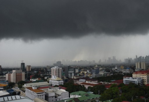
Black rain clouds gather above buildings in Manila in this file photo. AFP FILE
The weather bureau continues to monitor a potential strong typhoon that is threatening to enter the Philippine area of responsibility (PAR) this week.
Severe Tropical Storm “Mangkhut” (international name) was spotted 2,745 kilometers east of Southern Luzon and may enter the PAR on Wednesday, the Philippine Atmospheric, Geophysical and Astronomical Services Administration said.
It was packing winds of 130 kilometers per hour (kph) near the center and gusts of up to 160 kph. Before it enters the PAR, its sustained winds may reach 205 kph, said weather forecaster Meno Mendoza.
The potential super typhoon may pass over the Cagayan-Batanes area on Saturday and leave the PAR on Sunday.
A low pressure area spotted 200 kilometers north of Basco, Batanes, may develop into a tropical cyclone in the next 36 hours, Mendoza said.
The LPA will bring cloudy skies with scattered rain and thunderstorms over the Ilocos provinces, Apayao, Abra, Batanes and the Babuyan Group of Islands.
Metro Manila and the rest of the country will experience localized thunderstorms. /cbb


