

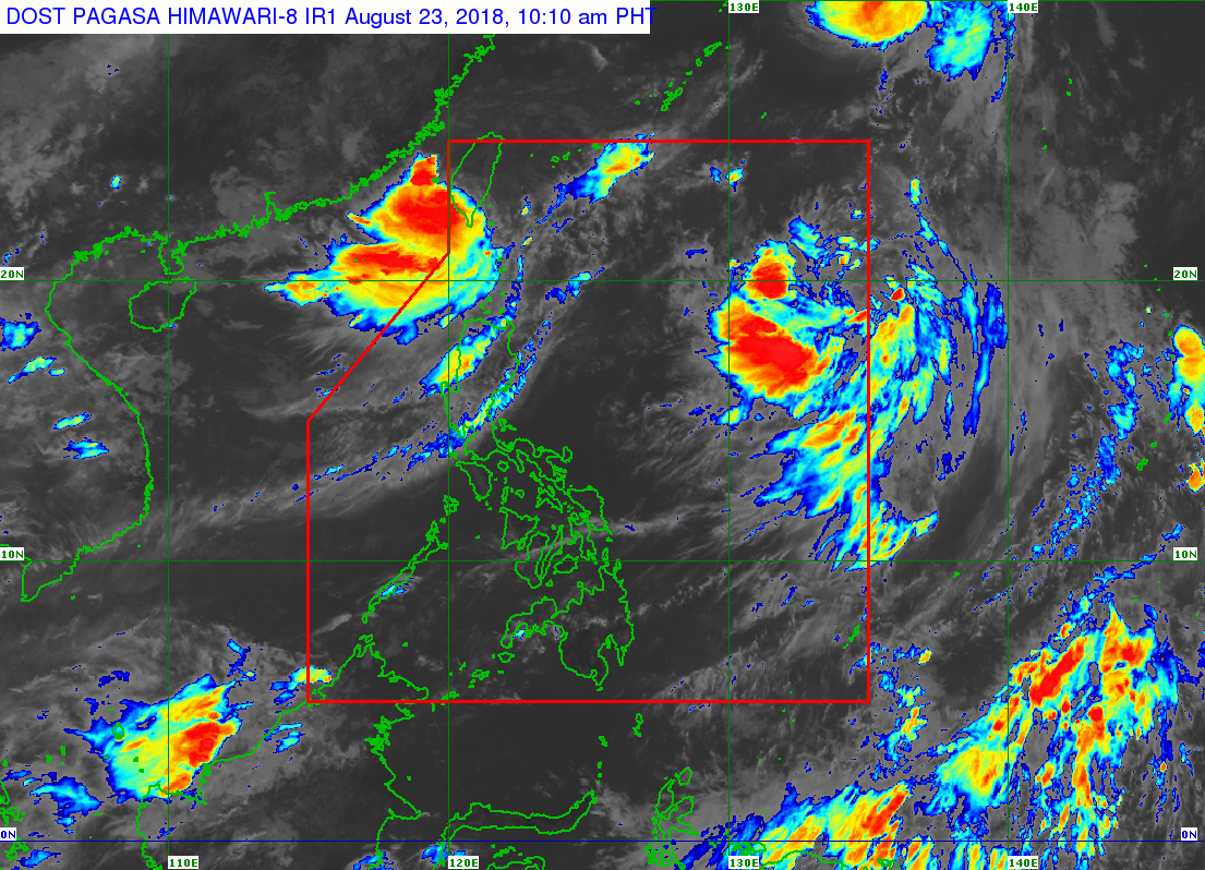
A low pressure area outside the Philippine area of responsibility (PAR) is expected to intensify into a tropical depression in the next two days, the state weather bureau said Thursday.
The LPA was last spotted 305 kilometers northwest of extreme Northern Luzon, the Philippine Atmospheric Geophysical and Astronomical Services Administration (Pagasa) said.
This weather disturbance and two other typhoons on the eastern section outside PAR — Soulik and Cimaron — will enhance the southwest monsoon.
Ilocos Region, Cordillera Administrative Region, Zambales, Bataan, Batanes, and Babuyan Group of Islands will have cloudy skies with scattered rains and thunderstorms, Pagasa said.
Metro Manila and the rest of the country will have partly cloudy to cloudy skies with isolated rains. /muf
