‘Inday’ now out of PH as new LPA enters
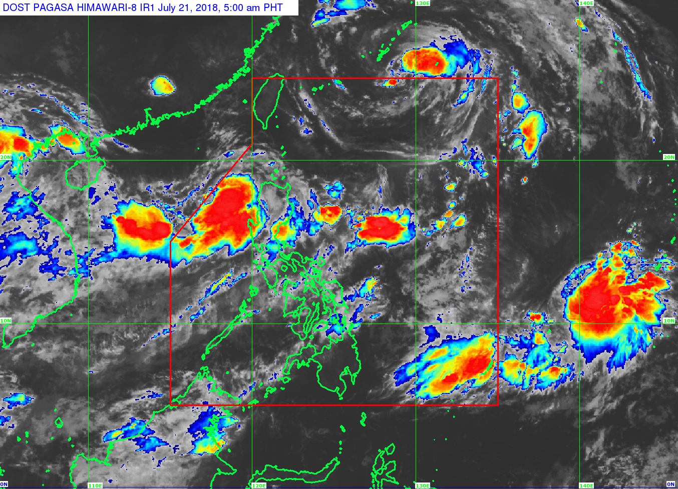
Tropical Storm “Inday” is already out of the Philippine area of Responsibility (PAR) as a low pressure area (LPA) enters the country, the Philippine Atmospheric Geophysical and Astronomical Services Administration (Pagasa) said on Saturday.
In its 5 a.m. weather bulletin, Pagasa said Inday was last spotted at 915 kilometers northeast of Basco, Batanes.
Inday has maximum sustained winds of 90 kilometers per hour (kph) near the center and gustiness of up to 115 kph.
Meanwhile, the LPA that Pagasa has been monitoring has entered the PAR and was estimated at 285 km west of Laoag City, Ilocos Norte.
Pagasa said the LPA is likely to develop into a tropical depression within 48 hours and would be called “Josie.”
Article continues after this advertisementHeavy monsoon rains will continue to batter the Ilocos Region, Cordillera Administrative Region, Zambales, and Bataan as the southwest monsoon (habagat) will still be enhanced both by Inday and the LPA.
Metro Manila, Calabarzon (Cavite, Laguna, Batangas, Rizal and Quezon) and the rest of Luzon, meanwhile, will have occasional rains also brought by the habagat.
Pagasa added that the Bicol region, Mimaropa (Mindoro, Marinduque, Romblon and Palawan), Visayas, and Mindanao will experience partly cloudy to cloudy skies with isolated rain but due to localized thunderstorms. /muf