
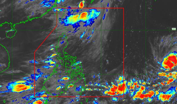
Satellite image from PAGASA, as of 9:30 p.m., Wednesday, July 4, 2018.
The government weather agency is monitoring a tropical depression that could enter the Philippine area of responsibility in a few days.
The tropical depression was last spotted 2,235 kilometers east of Visayas, according to a bulletin issued at 4 p.m. on Wednesday by the Philippine Atmospheric Geophysical and Astronomical Services Administration.
Weather forecaster Aldczar Aurelio said the weather disturbance could enter PAR by Sunday or Monday.
If it enters PAR, it will be locally named “Gardo.”
The tropical depression was packing maximum sustained winds of 60 kilometers per hour near the center and gusts of up to 75 kph, moving slowly west northwest. /atm
MOST READ
LATEST STORIES