
Tropical Depression Aghon keeps its intensity as it crosses the waters of San Vicente town in Northern Samar on Friday morning, May 25, 2024, according to the Philippine Atmospheric, Geophysical and Astronomical Services Administration (Pagasa). Photo from Pagasa’s website
MANILA, Philippines — Tropical Depression Aghon kept its intensity as it crossed the waters of San Vicente town in Northern Samar on Saturday morning.
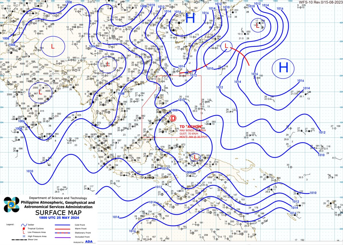
The Philippine Atmospheric, Geophysical and Astronomical Services Administration (Pagasa) also said in its 11 a.m. bulletin that Tropical Cyclone Wind Signal (TCWS) No. 1 was hoisted over the eastern portions of Bulacan, Laguna, and Rizal, along with 17 other areas in Luzon and Visayas.
According to the state weather agency, Aghon continued to go northwestward at 30 kilometers per hour (kph) as it packed maximum sustained winds of 55 kph near the center and gustiness of up to 85 kph
“The center of Tropical Depression Aghon was estimated based on all available data over the coastal waters of San Vicente, Northern Samar (12.3°N, 124.0°E),” Pagasa noted.
READ: Tropical Depression Aghon hit land twice in Eastern Samar, says Pagasa
A total of 20 areas were placed under TCWS No. 1, based on Pagasa’s 11 a.m. advisory, namely:
Luzon
- Eastern portion of Bulacan (Norzagaray, Doña Remedios Trinidad, City of San Jose del Monte)
- Eastern portion of Nueva Ecija (General Tinio, Gabaldon)
- Aurora
- Northern and southeastern portion of Quezon (Calauag, Guinayangan, Lopez, Buenavista, Catanauan, Mulanay, San Narciso, San Francisco, San Andres, Tagkawayan, Gumaca, Quezon, Alabat, Perez, Plaridel, Pitogo, Macalelon, General Luna, Atimonan, Unisan, Mauban, Real, Infanta, General Nakar, Padre Burgos, Agdangan, Sampaloc, Lucban, City of Tayabas, Pagbilao, Lucena City), including Polillo Islands
- Eastern portion of Laguna (Majayjay, Magdalena, Pagsanjan, Santa Cruz, Luisiana, Cavinti, Lumban, Kalayaan, Paete, Pangil, Siniloan, Mabitac, Santa Maria, Famy, and Pakil)
- Eastern portion of Rizal (City of Antipolo, Rodriguez, Tanay, Baras, Jala-Jala, Pililla, Morong, Teresa, San Mateo)
- Eastern portion of Romblon (Cajidiocan, Magdiwang, San Fernando, Romblon, Corcuera, Banton)
- Marinduque
- Sorsogon
- Albay
- Catanduanes
- Camarines Sur
- Camarines Norte
- Masbate, including Ticao and Burias Islands
Visayas
- Northern Samar
- Samar
- Eastern Samar (Can-Avid, Maslog, City of Borongan, San Policarpo, Taft, Llorente, Maydolong, Dolores, Jipapad, Oras, Arteche, Balangkayan, Sulat, San Julian, Lawaan, Balangiga, General Macarthur, Giporlos, Quinapondan, Hernani)
- Biliran
- Northern portion of Leyte (Tunga, Pastrana, San Miguel, Matag-Ob, Tolosa, Palo, Calubian, Leyte, Carigara, Babatngon, Dagami, Jaro, San Isidro, Santa Fe, Villaba, Palompon, Tabontabon, Tanauan, Merida, Ormoc City, Isabel, Capoocan, Alangalang, Tabango, Tacloban City, Kananga, Barugo)
Extreme northern portion of Cebu (San Remigio, Tabogon, City of Bogo, Medellin, Daanbantayan, Borbon), including Bantayan Islands
Aghon’s landfalls
In a press briefing, Pagasa weather specialist Benison Estareja said the tropical depression has made its third landfall at 4 a.m. in Basiao Island and fourth landfall one hour later at Cagduyong Island, both in Catbalogan City, Samar.

READ: Tropical Depression Aghon: Live Updates
“Maaaring tumama ‘yung gitna mismo nitong si bagyong Aghon dito po sa may Masbate, maaaring sa mainland Masbate sa may eastern side or dito sa may Ticao Island,” he said.
(The center of Tropical Depression Aghon may directly hit Masbate, possibly the mainland Masbate on the eastern side or Ticao Island.)
“And then afterwards, maaaring bagtasin din po ‘yung paligid ng mga tubig dito sa may Burias Island patunogo dito sa may Ragay gulf hanggang sa makatawid po dito sa may southern portion of Quezon – panibagong landfall po ulit ‘yan,” Villamil added.
(And then afterwards, it may also cross waters around Burias Island to the Ragay gulf until it crosses here in the southern portion of Quezon – that’s another landfall.)