


‘Nina’ likely to exit Tuesday night; storm signals lifted
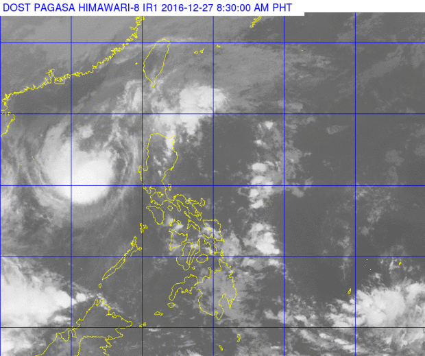
This satellite image from Pagasa shows the location of Typhoon Nina (Nock-Ten) as of 8:30 a.m. Tuesday.
All storm signals were lifted as Typhoon “Nina” (international name: Nock-Ten) continued to traverse the South China Sea, the state weather bureau said Tuesday.
The typhoon is likely to exit the Philippine Area of Responsibility on Tuesday evening, the Philippine Atmospheric, Geophysical and Astronomical Services Administration said.
Sea travel remained risky over the seaboards of Northern Luzon and the western seaboard of Central Luzon.
Moderate to heavy rains were expected from the 300-kilometer diameter of Nina.
The typhoon was last located 360 kilometers west of Iba, Zambales, with maximum sustained winds of 120 kilometers per hour near (kph) near the center and gusts of up to 150 kph. It is forecast to move west at 17 kph.
Nina battered mostly Southern Luzon at its peak. It made eight landfalls before it left the Philippine landmass on Monday afternoon: Bato, Catanduanes; Sagnay, Camarines Sur; San Andres, Quezon; Torrijos, Marinduque; Verde Island, Batangas City; Tingloy, Batangas; Calatagan, Batangas; and Lubang Island. RAM/rga
RELATED STORIES
‘Nina’ weakens further, typhoon signals lowered
DSWD releases P206-M relief for ‘Nina’ victims
RELATED VIDEO


