


Tropical cyclone to enter PAR on Thursday
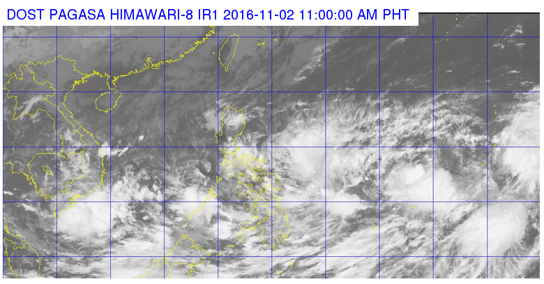
Satellite image from Pagasa at 11 am Wednesday.
A tropical depression is forecast to enter the Philippine area of responsibility (PAR) on Thursday morning, the state weather bureau said.
The tropical cyclone, which will be locally named “Marce”, was last sighted 1,315 kilometers east of Visayas, the Philippine Atmospheric, Geophysical and Astronomical Services Administration (Pagasa) said midday Wednesday.
The weather disturbance is packing maximum sustained winds of up to 45 kilometers per hour (kph) and gusts of up to 45 kph. It was moving west northwest at 15 kph.
A low pressure area inside PAR, meanwhile, has dissipated.
The intertropical convergence zone will continue to bring light to moderate rains and isolated thunderstorms over Visayas, Mindanao, Mimaropa and Bicol region.
Cloudy skies with light to moderate rains will prevail over Cagayan, Isabela, Aurora and Bulacan, Pagasa said. IDL
RELATED STORIES
Pagasa tracking two LPAs outside PAR
At most 3 storms may hit PH this month—Pagasa


