


Pagasa tracking two LPAs outside PAR
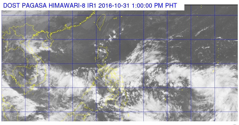
SATELLITE IMAGE FROM PAGASA
The state weather bureau is tracking two low pressure areas likely to develop into tropical cyclones this week.
The first LPA is located 1,000 kilometers east of Mindanao and could possibly enter the Philippine area of responsibility (PAR) within the day, Philippine Atmospheric, Geophysical and Astronomical Services Administration (Pagasa) forecaster Benison Estareja told INQUIRER.net on Monday.
The second weather disturbance, located 1,019 kilometers east of Visayas, is likely to enter the PAR within two to three days, he added.
Based on forecast models, both LPAs are seen to intensify into tropical depressions within 48 to 72 hours, Estareja said.
Should the two weather disturbances turn into tropical cyclones, they will be locally named Marce and Nina, respectively.
The weather bureau sees one to three tropical cyclones to hit the country in the month of November. IDL/rga
RELATED STORY
Rainy ‘Undas’ for Visayas, Mindanao—Pagasa


