Tropical storm to enter PAR Tuesday, to be named ‘Butchoy’
SCREENGRAB from Pagasa’s Facebook page
The state weather bureau said on Sunday that a tropical storm will enter the Philippine Area of Responsibility (PAR) on Tuesday.
Once it enters PAR, it will be named “Butchoy.”
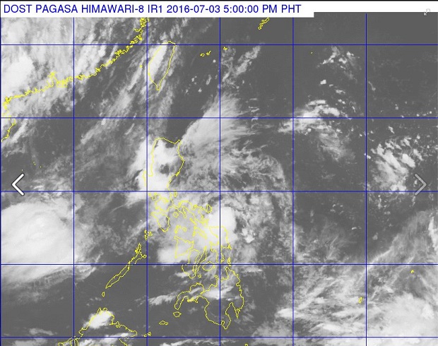
According to the weather bulletin issued by Philippine Atmospheric, Geophysical and Astronomical Services (Pagasa) at 5 p.m., the center of tropical storm with international name “Nepartak” was estimated to be at 2,060 kilometers east of Mindanao.
“Nepartak” packs maximum sustained winds of 65 kilometers per hour (kph) near the center and gusts of up to 80 kph. It is moving northwest at 7 kph.
While “Nepartak” is still outside PAR, Pagasa said that a low pressure area (LPA) has developed 85 km east of Catarman, Northern Samar.
Article continues after this advertisementIt said the LPA will bring cloudy skies with moderate to occasionally heavy rains over the Bicol region and the provinces in Samar.
Article continues after this advertisementMeanwhile, cloudy skies with light to moderate rains and thunderstorms will be experienced over Metro Manila, Calabarzon ((Cavite, Laguna, Batangas, Rizal and Quezon), Mimaropa (Mindoro, Marinduque, Romblon, Palawan), Central Luzon, Northern Mindanao, rest of the Visayas, Pangasinan and Tarlac. AJH/RAM/rga
RELATED STORY
Pagasa says more rain, floods expected in Cebu this week