


‘Onyok’ weakens; heavy rains expected in Bicol, Eastern Visayas
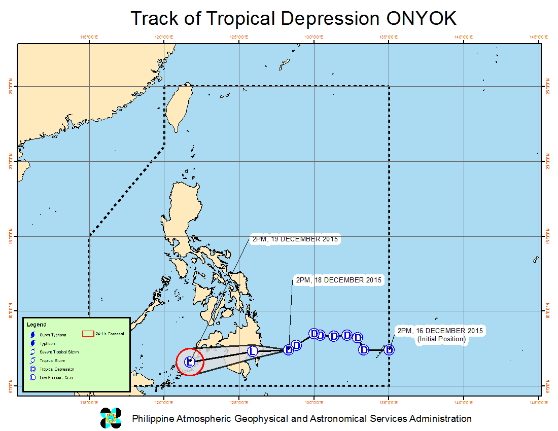
Tropical Depression “Onyok” slightly weakened ahead of its expected landfall, the state weather bureau said on Friday afternoon.
The tropical cyclone will weaken further into a low pressure area after its landfall which will take place in Davao Oriental between 8 to 10 p.m., weather forecaster Aldczar Aurelio of the Philippine Atmospheric, Geophysical and Astronomical Services Administration said in a televised press briefing.
Signal No. 1 was raised over Surigao del Sur including Siargao Island, Surigao del Norte, Dinagat Province, Misamis Oriental, Camiguin, Agusan del Norte, Agusan del Sur, Davao Oriental, Davao del Norte, Compostela Valley, Bukidnon, Lanao del Norte, Lanao del Sur, Misamis Occidental, Davao del Sur, Maguindanao and North Cotabato.
Onyok packed maximum sustained winds of 45 kilometers per hour near the center and was last tracked 210 kilometers east of Mati City, Davao Oriental.
Heavy to intense rains are forecast within Onyok’s 150 km radius, Pagasa said.
Flashfloods and landslides are possible.
Bicol Region, Eastern Visayas and the province of Quezon will also experience moderate to heavy rains which may trigger flashfloods and landslides.
Pagasa also warned of risky sea travel over the seaboards of Luzon and the eastern seaboard of Visayas due to big waves generated by the surge of the northeast monsoon.


