


‘Lando’ to stay longer in Luzon
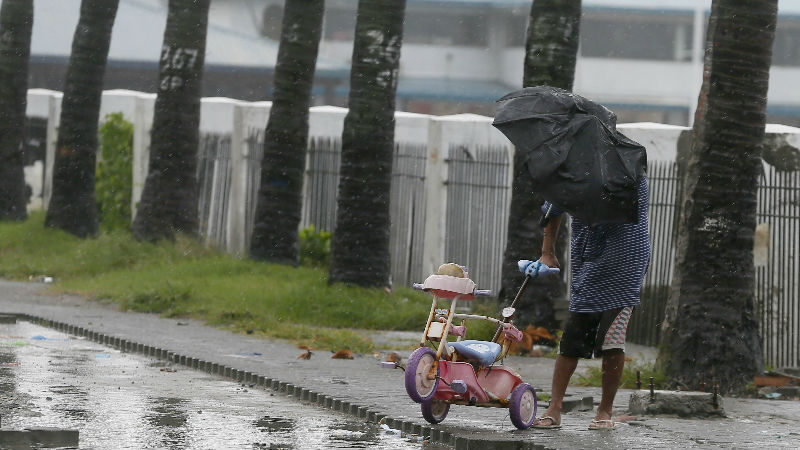
A man retrieves a baby tricycle under strong winds and slight rain brought by Typhoon Koppu Sunday, Oct. 18, 2015 in Manila, Philippines. The slow-moving typhoon blew ashore with fierce wind in the northeastern Philippines early Sunday, toppling trees and knocking out power and communications. Officials said there were no immediate reports of casualties. (AP Photo/Bullit Marquez)
NORTHERN and central Luzon will feel the wrath of Typhoon “Lando” (international name: Koppu) for three more days, or until Wednesday, according to the Philippine Atmospheric Geophysical Astronomical Services Administration (Pagasa).
“It’s moving slowly. That’s bad news because it’s going to stay longer. This means for the next three days it will be over northern and central Luzon,” meteorologist Aldczar Aurelio said in a news briefing last night.
Storm warning signals remained over Metro Manila and surrounding provinces.
“We expected that the weather will improve tonight, but Lando slowed down so we are still in Signal No. 2,” Aurelio said.
Pagasa lowered the warning signal from No. 4 to No. 2 over Aurora where Lando made landfall early Monday. But it maintained Signal No. 3 over Nueva Ecija, Quirino, Nueva Vizcaya, Benguet, Ifugao, Mountain Province, Kalinga, Ilocos Sur, La Union, Pangasinan and Zambales.
It also maintained Signal No. 2 over Metro Manila, Cagayan (including the Calayan and Babuyan islands), Isabela, Abra, Apayao, Ilocos Norte, Bataan, Tarlac, Pampanga, Bulacan, Rizal and northern Quezon (including Polillo islands).
Cavite, Laguna, Batangas and the rest of Quezon also remained under Signal No. 1.
The 600 kilometer-diameter typhoon will continue to bring moderate to heavy to occasionally intense rains over Luzon in the next three days, Pagasa warned.
Sea travel around Luzon and Visayas was also discouraged.
Aurelio said the combined effect of Typhoon “Champi” in the Pacific (which will not enter the Philippine area of responsibility), the tail end of a cold front in northern Luzon and a high-pressure area in the West Philippine Sea kept Lando longer over the Luzon landmass.
Lando slightly weakened since making landfall in Aurora but remained powerful with maximum winds of 150 kph (from 175 kph) near the center and gusts up to 185 kph (from 210 kph). It was almost stationary over Aurora for six hours Monday, moving at 3 kph.
Pagasa said the weather may begin to improve in northern Luzon on Thursday or Friday, and in Central Luzon around Wednesday or Thursday.


