


‘Chedeng’ weakens, to make landfall Sunday evening
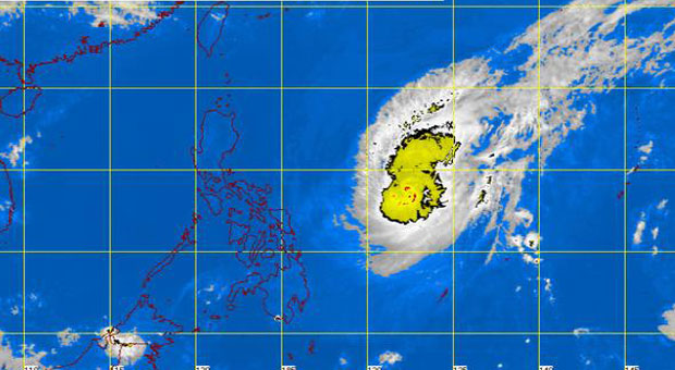
Pagasa satellite image as of 11:00 PM | Thursday, April 2, 2015
MANILA, Philippines-Typhoon “Chedeng” (international name Maysak) has continued to weaken as it traverses the West Philippine Sea Thursday evening, the weather bureau said.
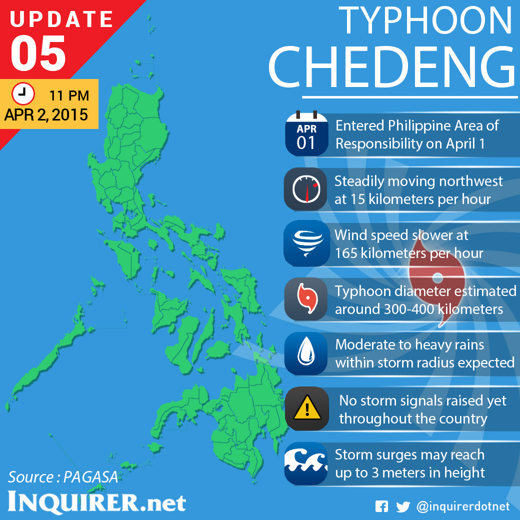
In its latest weather bulletin, the Philippine Atmospheric, Geophysical and Astronomical Services Administration said “Chedeng” has maximum sustained winds of 165 kilometers per hour and gusts of 200 kph.
“Chedeng” last clocked in with winds of 175 kph and gusts of 210 kph.
As of 10 pm, Chedeng was seen at 885 kilometers east of Virac, Catanduanes traveling at a pace of 15 kph.
Pagasa added that “Chedeng” is expected to make landfall on Sunday evening on the coasts of the Aurora-Isabela area.
“Chedeng” expected to exit the Philippine landmass via Ilocos Region on Monday morning and exit the Philippine Area of Reaponsibility Monday evening.
No public storm warning signals have been raised as of posting time, but Pagasa warns that in the next six hours public storm warning signal no. 1 will be raised over the Bicol region.
RELATED STORIES
‘Chedeng’s’ eye vanishes, speed slows down
Tourists start leaving Aurora ahead of ‘Chedeng’


