


‘Hagupit’ threatens Southern Mindanao
Screengrab from pagasa.dost.gov.ph
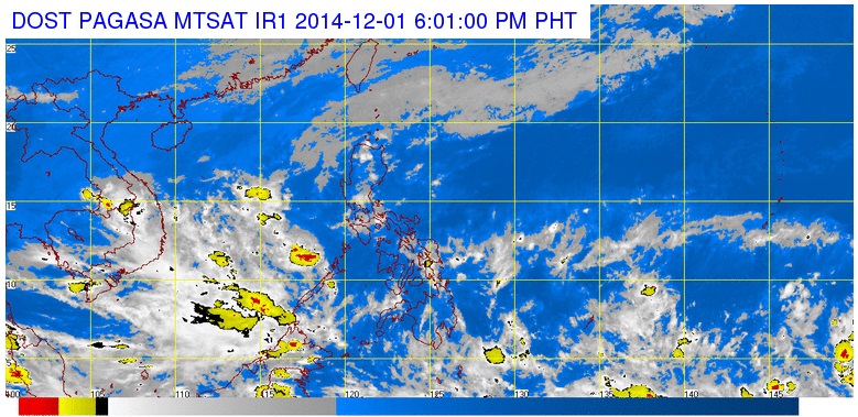
MANILA, Philippines—The tropical cyclone over the Pacific Ocean has intensified into a tropical storm named internationally as “Hagupit,” which means “lash” in Filipino.
Once it enters the Philippine area of responsibility (PAR), it will be locally named “Ruby.”
“It could be a typhoon once it enters the PAR on Thursday evening or Friday morning because it will gather more moisture over the ocean in the next few days,” Gladys Saludes, weather forecaster of the Philippine Atmospheric Geophysical and Astronomical Services Administration told INQUIRER.net.
Hagupit was last observed 3,000 kilometers east-southeast of Southern Mindanao.
Saludes said there were two scenarios: First, it could recurve and spare Philippines before it heads toward the northern part of the Pacific. The other scenario is it could make landfall in Visayas or Northern Mindanao as storms in this time of the year are likely to make landfall.
Saludes said, however, that two out of three of their forecast models show that the storm was likely to follow the first scenario.
Metro Manila, Calabarzon region, and the province of Aurora will experience cloudy skies with light to moderate rain showers and thunderstorms, Pagasa said.
Cagayan Valley and the provinces of Apayao and Ilocos Norte will have cloudy skies with light rains. The rest of the country will be partly cloudy to cloudy with isolated rain showers or thunderstorms mostly over the eastern section.
RELATED STORY
Pagasa tracking LPA over Pacific


